Llanfair, Ceredigion
| Llanfair | |
| Welsh: Llanfair Clydogau | |
 |
|
 Llanfair |
|
| OS grid reference | SN622514 |
|---|---|
| – Cardiff | 90 mi (140 km) SE |
| Principal area | Ceredigion |
| Ceremonial county | Dyfed |
| Country | Wales |
| Sovereign state | United Kingdom |
| Post town | Lampeter |
| Postcode district | SA48 |
| Dialling code | 01570 |
| Police | Dyfed-Powys |
| Fire | Mid and West Wales |
| Ambulance | Welsh |
| EU Parliament | Wales |
| UK Parliament | Ceredigion |
| Welsh Assembly | Ceredigion |
|
|
Coordinates: 52°08′36″N 4°00′50″W / 52.143405°N 4.013852°W
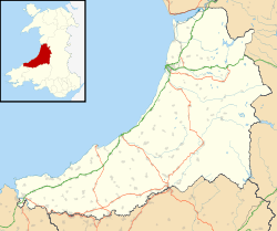
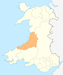
Llanfair is a small village, encompassing 3232 ha, located about 4 miles north-east of Lampeter, in Ceredigion, Wales. It has a population of around 770, 87.5% of which are Welsh-speaking,[1] formerly located within the hundred of Moyddyn.[2]
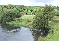
The community is located at the southernmost area of Ceredigion's former lead and silver mines, which until the 1760s were highly productive. The meaning of "clywedog" is audible, or noisy which refers to the river Clydogau, or Clywedogau as it was originally spelt. The basins of Clywedog-isaf, Clywedog-ganol and Clywedog-uchaf are nearby.[1]
There are two churches still in operation, Saint Mary's Parish and Ebeneser Congregational chapel, originally established 1799 as a brewery.[2]
Local native and scholar G.J. Williams, (1892-1962), was the first president of Yr Academi Gymreig (Welsh Academy).[1]
Footnotes
References
- The Welsh Academy Encyclopedia of Wales, University of Wales Press, Cardiff, Published 2008, Co-Editors: John Davies, Nigel Jenkins, Menna Baines and Pereduri I. Lynch, ISBN 978-0-7083-1953-6
- GENUKI: Llanfair Clyodau
