Long'an County
| Long'an County 隆安县 · Lungzanh Yen | |
|---|---|
| County | |
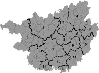 Long'an Location in Guangxi | |
| Coordinates: 23°09′58″N 107°41′46″E / 23.166°N 107.696°ECoordinates: 23°09′58″N 107°41′46″E / 23.166°N 107.696°E[1] | |
| Country | People's Republic of China |
| Autonomous region | Guangxi |
| Prefecture-level city | Nanning |
| Area[2] | |
| • Total | 2,277.34 km2 (879.29 sq mi) |
| Population (2010)[3] | |
| • Total | 300,215 |
| • Density | 130/km2 (340/sq mi) |
| Time zone | China Standard (UTC+8) |
| Postal code | 5327XX |
Long'an County (simplified Chinese: 隆安县; traditional Chinese: 隆安縣; pinyin: Lóng'ān Xiàn; Standard Zhuang: Lungzanh Yen) is under the administration of Nanning, the capital of Guangxi Zhuang Autonomous Region, China. The westernmost county-level division of Nanning City, it borders the prefecture-level cities of Chongzuo to the west and Baise to the northwest.
References
External links
This article is issued from Wikipedia - version of the 11/1/2016. The text is available under the Creative Commons Attribution/Share Alike but additional terms may apply for the media files.