Lucky Jim Camp
Lucky Jim Camp sometimes called Lucky Camp is a ghost town site in Clark County, Nevada. It was within New Mexico Territory when founded in 1862.[1]
It was a mining camp in El Dorado Canyon in the Colorado Mining District in the 1860s. Its site lies on the north side of the canyon, south of the Techatticup Mine, at an elevation of 2444 feet and above the mouth of January Wash at its confluence with El Dorado Canyon.[1]
History
How Lucky Jim Camp was named is unknown.[2]
Lucky Jim Camp was the home of miners sympathetic to the Confederate cause during the American Civil War. A mile up the canyon, above Huse Spring, was a camp with Union sympathies called Buster Falls.[3]:15, and Note 33[4]:611
El Dorado City with its stamp mill, established in late 1863, was located just a short distance down the same side of the canyon as the older Lucky Jim Camp, and may have supplanted it by the end of the war or shortly thereafter when the mines had a period of idleness.[5]
Today
The site of Lucky Jim Camp appears barren of any trace of ruins viewed by satellite photos.[1]
References
- 1 2 3 U.S. Geological Survey Geographic Names Information System: Lucky Jim Camp
- ↑ The town replaced the earlier mining camps of Alturas and Louisville established near the Techatticup Mine in 1861, after the destructive Great Flood of 1862. The Great Flood affected much of the Western United States in the winter of 1861-1862, including the Colorado River Basin between Washington County, Utah and Yuma, Arizona, causing severe flooding and destruction of settlements, including in El Dorado Canyon. Lucky Jim Camp was located off the canyon floor and above the flood waters, and provided a refuge to those fleeing the lower camps in the flood's path. The name of nearby January Wash may memorialize the event which would have occurred there in January 1862.
- ↑ John M. Townley, Early Development of El Dorado Canyon and Searchlight Mining Districts, NEVADA HISTORICAL SOCIETY QUARTERLY, SPRING 1968, VOLUME XI Number 1, Nevada Historical Society, Reno, 1968
- ↑ James Graves Scrugham, Nevada: A Narrative of the Conquest of a Frontier Land, Vol. 1, American Historical Society, Chicago, 1935
- ↑ U.S. Geological Survey Geographic Names Information System: Eldorado City (historical)
Municipalities and communities of Clark County, Nevada, United States | ||
|---|---|---|
| Cities | 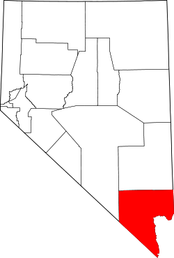 | |
| CDPs | ||
| Unincorporated communities | ||
| Townships |
| |
| Ghost towns | ||
| Indian reservations | ||
| Footnotes | ‡This populated place also has portions in an adjacent county or counties | |
Coordinates: 35°42′08″N 114°48′12″W / 35.70222°N 114.80333°W