Mölltaler Polinik
| Mölltaler Polinik | |
|---|---|
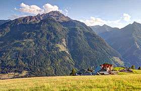 View from north | |
| Highest point | |
| Elevation | 2,784 m (AA) (9,134 ft) |
| Prominence | 1,579 m ↓ Iselsberg Pass |
| Isolation | 10.4 km → Böseck |
| Listing | Ultra |
| Coordinates | 46°53′46″N 13°09′24″E / 46.8960111°N 13.1567111°ECoordinates: 46°53′46″N 13°09′24″E / 46.8960111°N 13.1567111°E |
| Geography | |
 Mölltaler Polinik Austria | |
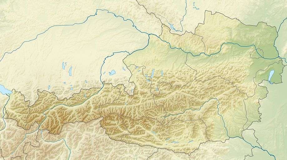
| Location | Carinthia, Austria |
| Parent range |
Hohe Tauern Kreuzeck group |
The Mölltaler Polinik, at 2,784 m (9,134 ft), is the highest mountain of the Kreuzeck group, part of the Hohe Tauern range in the Austrian state of Carinthia.
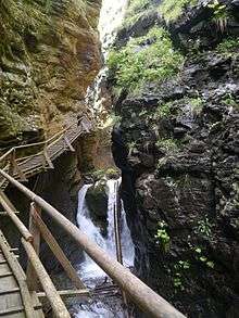
Ragga Ravine
The peak rises south of the villages of Flattach and Obervellach in the Möll valley. From Obervellach a footpath leads past the Polinikhaus lodge (1,873 m (6,145 ft), run by Mölltal Section of the Austrian Alpine Club) to the summit. From Flattach the mountain may be climbed through the deep Ragga Ravine along a winding boardwalk across numerous waterfalls and the Raggaalm pasture.
See also
Literature
- Manfred Posch: Reißeck, Kreuzeck. Die schönsten Touren, Klagenfurt, 2000, Kärntner Druck- und Verlagsgesellschaft m.b.H., ISBN 3-85391-176-5
This article is issued from Wikipedia - version of the 12/21/2015. The text is available under the Creative Commons Attribution/Share Alike but additional terms may apply for the media files.