Mahidpur
| Mahidpur महिदपुर Mehidpur | |
|---|---|
| city | |
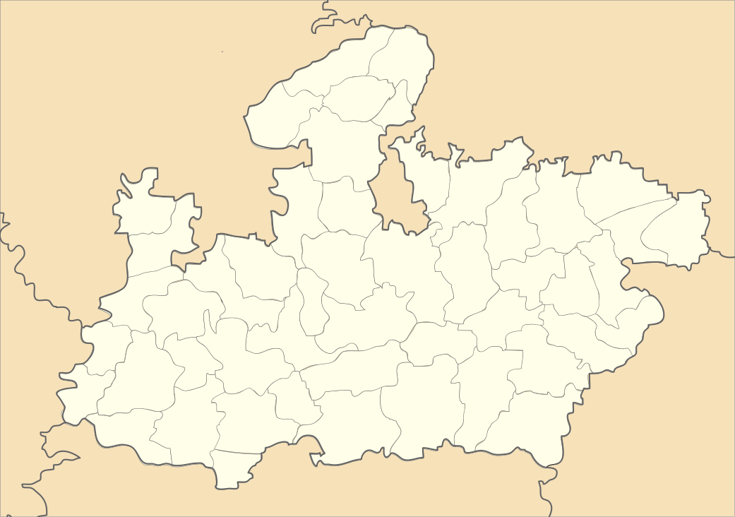 Mahidpur Location in Madhya Pradesh, India | |
| Coordinates: 23°29′14″N 75°39′26″E / 23.48722°N 75.65722°ECoordinates: 23°29′14″N 75°39′26″E / 23.48722°N 75.65722°E | |
| Country |
|
| State | Madhya Pradesh |
| District | Ujjain |
| Population (2013) | |
| • Total | 219,379 |
| Languages | |
| • Official | Hindi |
| Time zone | IST (UTC+5:30) |
| PIN | 456443 |
Mahidpur is a town and a municipality in Ujjain district in the Indian state of Madhya Pradesh. The modern town of Mahidpur is situated on the bank of river Shipra. It is located in the Malwa region. At present, the town is a tahsil place of District Ujjain. It is situated at a distance of 56 km towards south-west of Ujjain town by bus and 18 km from Mahidpur-Road Railway station on Delhi-Mumbai line of Western Railway. Mahidpur and Mahidpur-Road are famous for agricultural produce - Ghee, Mawa (thickened milk) and Namkin. The town is well connected by road to Ujjain, Ratlam (via Jaora), Nagda, and Agar cities, with frequent buses plying on the route.
Several chalcolithic remains have been excavated in this town. The Battle of Mahidpur between the Marathas and the British was fought in this town.
History
Mahidpur or mehidpur during British India was in Indore state of Central India, on the right bank of the Kshipra, 1,543 feet (470 m) above sea level, and 24 metres (79 ft) north of Ujjain, which in 1901 had a population of 6681. Though of some antiquity and frequented by Hindu pilgrims, it is best known for the battle fought in the neighbourhood on 20 December 1817 (Battle of Mahidpur), in which Sir John Malcolm defeated the army of Holkar. The result was the Treaty of Mandasor and the pacification of Malwa. Mahidpur was again the scene of some sharp fighting during the Indian Mutiny. The British cantonment, placed here in 1817, was removed in 1882. In 18th century singhast fair was held here when an incurable dieses was spread in ujjain [1]
Located at the bank of river Kshripra, city still has dilapidated old fort. Remnants of the war could be seen at a place named "Bhasmi Tekri" (Ashes Hill). City also has one of the oldest Mahalakshmi temples in the battlefield. Tala Kunchi ki Bawdi (Lock & Key Well) near the battlefield is supposedly the underground link to flee Mahidpur fort.
Demographics
As of 2001 India census,[2] Mahidpur had a population of 2,16,518. Males constitute 52% of the population and females 48%. Mahidpur has an average literacy rate of 62%, higher than the national average of 59.5%: male literacy is 70%, and female literacy is 52%. In Mahidpur, 17% of the population is under 6 years of age.
Industry
A major chunk of the population is employed in the agricultural and related sectors, dealing directly or indirectly with the agricultural produce. Major crops grown are - wheat, chick pea, pigeon pea, soyabean, and corn.
Bibliography
- Chalcolithic site of Ujjain region, Mahidpur: excavation report. Sharada Pub. House. 2004. ISBN 978-81-88934-23-2.
References
- ↑
 This article incorporates text from a publication now in the public domain: Chisholm, Hugh, ed. (1911). "article name needed". Encyclopædia Britannica (11th ed.). Cambridge University Press.
 - ↑ "Census of India 2001: Data from the 2001 Census, including cities, villages and towns (Provisional)". Census Commission of India. Archived from the original on 2004-06-16. Retrieved 2008-11-01.