Mendi
For other uses, see Mendi (disambiguation).
| Mendi | |
|---|---|
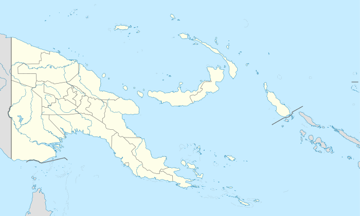 Mendi Location within Papua New Guinea | |
| Coordinates: 6°8′52″S 143°39′26″E / 6.14778°S 143.65722°E | |
| Country | Papua New Guinea |
| Province | Southern Highlands |
| District | Mendi-Munihu District |
| LLG | Mendi Urban |
| Elevation | 1,620 m (5,310 ft) |
| Population (2013) | |
| • Total | 56,055 |
| • Rank | 10th |
| Languages | |
| • Main languages | Tok Pisin, Angal, Kewa |
| • Traditional language | Angal |
| Time zone | AEST (UTC+10) |
| Postcode | 251 |
| Climate | Cfb |
Mendi, Papua New Guinea, is the provincial capital of the Southern Highlands Province.
Climate
Köppen-Geiger climate classification system classifies its climate as oceanic (Cfb).[1] Temperatures and rainfall are relatively the same round the year.
| Climate data for Mendi | |||||||||||||
|---|---|---|---|---|---|---|---|---|---|---|---|---|---|
| Month | Jan | Feb | Mar | Apr | May | Jun | Jul | Aug | Sep | Oct | Nov | Dec | Year |
| Average high °C (°F) | 23.8 (74.8) |
23.6 (74.5) |
23.4 (74.1) |
23.6 (74.5) |
23.6 (74.5) |
22.6 (72.7) |
21.9 (71.4) |
22.3 (72.1) |
22.7 (72.9) |
23.3 (73.9) |
23.7 (74.7) |
23.7 (74.7) |
23.18 (73.73) |
| Daily mean °C (°F) | 18.3 (64.9) |
18.3 (64.9) |
18.2 (64.8) |
18.2 (64.8) |
18.2 (64.8) |
17.1 (62.8) |
16.8 (62.2) |
17.2 (63) |
17.5 (63.5) |
17.6 (63.7) |
17.8 (64) |
18.2 (64.8) |
17.78 (64.02) |
| Average low °C (°F) | 12.8 (55) |
13.1 (55.6) |
13.1 (55.6) |
12.8 (55) |
12.8 (55) |
11.7 (53.1) |
11.8 (53.2) |
12.1 (53.8) |
12.4 (54.3) |
12 (54) |
11.9 (53.4) |
12.7 (54.9) |
12.43 (54.41) |
| Average precipitation mm (inches) | 239 (9.41) |
261 (10.28) |
286 (11.26) |
246 (9.69) |
209 (8.23) |
192 (7.56) |
211 (8.31) |
244 (9.61) |
263 (10.35) |
270 (10.63) |
221 (8.7) |
252 (9.92) |
2,894 (113.95) |
| Source: Climate-Data.org, altitude: 1740m[1] | |||||||||||||
References
- 1 2 "Climate: Mendi - Climate graph, Temperature graph, Climate table". Climate-Data.org. Retrieved 1 November 2013.
Provincial capitals of Papua New Guinea | ||
|---|---|---|
This article is issued from Wikipedia - version of the 6/11/2016. The text is available under the Creative Commons Attribution/Share Alike but additional terms may apply for the media files.