Daru
| Daru | |
|---|---|
| Town | |
 | |
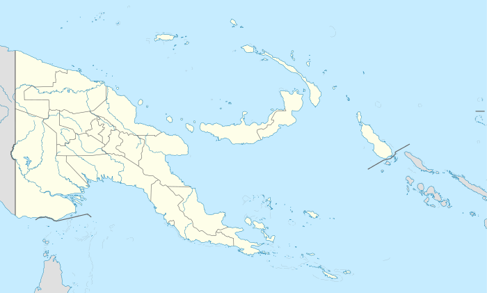 Daru Location in Papua New Guinea | |
| Coordinates: 9°05′S 143°12′E / 9.083°S 143.200°ECoordinates: 9°05′S 143°12′E / 9.083°S 143.200°E | |
| Country |
|
| Province | Western Province |
| District | South Fly District |
| LLG | Daru Urban |
| Established | 1884 |
| Elevation | 3 m (10 ft) |
| Population (2013) | |
| • Total | 20,053 |
| Time zone | AEST (UTC+10) |
| Climate | Am |
Daru is the capital of the Western Province of Papua New Guinea.[1] The township is entirely located on an island that goes by the same name, which is located near the mouth of the Fly River on the western side of the Gulf, just north of Torres Strait and Far North Queensland. Daru has approximately the same population as Tabubil and is the second-largest southern coastal settlement in Papua New Guinea after Port Moresby. Daru has about 13,000 inhabitants and is the biggest coastal village in western Papua New Guinea.
The language of the Daru people is Kiwai (South-West Coastal Kiwai), also spoken on neighbouring mainland villages (the name Kiwai comes from Kiwai Island further north-west in the Fly River delta). However, the Kiwai settlement of Daru is fairly recent. The original inhabitants, the Hiamo, were Western-Central Torres Strait Islanders originally from Yama in the Torres Strait. With the Kiwai colonisations, the main group of Hiamo people moved to Southern Torres Strait and settled the Muralag group.
It is served by Daru Airport, a small airstrip.
| Census Unit Number |
Name | Households | Population Male |
Population Female |
Population total |
Coordinates |
|---|---|---|---|---|---|---|
| 001 | Cameron Road | 71 | 280 | 206 | 486 | |
| 002 | Tamate Street | 64 | 237 | 188 | 425 | |
| 003 | Section 29/ 31/ 33/ 34 | 75 | 401 | 355 | 756 | |
| 004 | Tompkins Street | 68 | 292 | 265 | 557 | |
| 005 | Butterworth Street | 61 | 207 | 191 | 398 | |
| 006 | Street I | 71 | 300 | 278 | 578 | |
| 007 | Bomana | 104 | 414 | 362 | 776 | |
| 008 | Daru High School | 62 | 225 | 202 | 427 | |
| 009 | Murray Street | 59 | 185 | 175 | 360 | |
| 011 | Ipisa 2 Corner | 53 | 201 | 159 | 360 | |
| 012 | Sepe Corner | 41 | 274 | 233 | 507 | |
| 013 | Tuireture Corner | 68 | 314 | 271 | 585 | |
| 014 | Samari Corner | 46 | 192 | 198 | 390 | |
| 015 | Mabudawan Corner | 40 | 146 | 128 | 274 | |
| 016 | Madame Corner | 27 | 131 | 125 | 256 | |
| 017 | Wabada Corner | 23 | 99 | 100 | 199 | |
| 018 | Giwari 1 Corner | 22 | 93 | 90 | 183 | |
| 019 | Giwari 2 Corner | 56 | 194 | 166 | 360 | |
| 020 | Gelam Tail Corner | 14 | 46 | 37 | 83 | |
| 021 | Parama Corner | 44 | 194 | 190 | 384 | |
| 022 | Ormo Sapuwo Corner | 52 | 233 | 218 | 451 | |
| 023 | Ipisia 1 Corner | 29 | 165 | 170 | 335 | |
| 024 | Sevirimabu Corner | 47 | 211 | 211 | 422 | |
| 025 | Katatai Corner | 71 | 200 | 220 | 420 | |
| 026 | Boze Corner | 11 | 44 | 36 | 80 | |
| 027 | Bamu 1 Corner | 54 | 221 | 201 | 422 | |
| 028 | Bamu 2 Corner | 41 | 160 | 142 | 302 | |
| 029 | Bamu 3 Corner | 65 | 214 | 195 | 409 | |
| 030 | Refugee Area | 38 | 118 | 111 | 229 | |
| 031 | Gaima Corner | 81 | 303 | 265 | 568 | |
| 032 | Sikani Settlement | 3 | 12 | 6 | 18 | |
| 033 | Solomon Corner | 91 | 480 | 399 | 879 |
Notes
- ↑ "Japan Steps Up Interest in Papua New Guinea's Gas Riches". Wall Street Journal. 23 May 2013. Archived from the original on 5 June 2013.
Provincial capitals of Papua New Guinea | ||
|---|---|---|