Moorefield Historic District
|
Moorefield Historic District | |
 | |
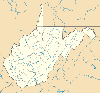  | |
| Location | Portions of Main, Elm, Washington, and Winchester Sts., Moorefield, West Virginia |
|---|---|
| Coordinates | 39°3′35″N 78°58′12″W / 39.05972°N 78.97000°WCoordinates: 39°3′35″N 78°58′12″W / 39.05972°N 78.97000°W |
| Area | 70 acres (28 ha) |
| Built | 1777 |
| Architectural style | Greek Revival, Queen Anne, Italianate |
| MPS | South Branch Valley MRA |
| NRHP Reference # | 86000774[1] |
| Added to NRHP | January 15, 1986 |
Moorefield Historic District is a national historic district located at Moorefield, Hardy County, West Virginia. The district encompasses 171 contributing buildings. It consists of a mix of commercial, residential and civic structures, ranging in age from the mid 18th century to the early 20th century. Predominate residential styles are Greek Revival and Queen Anne. The commercia1 buildings are Italianate style. Notable buildings include the Hardy County Court House (1914), City Hall, and Emmanuel Episcopal Church (1879). Located in the district are the separately listed Old Stone Tavern, Thomas Maslin House, and Old Hardy County Courthouse.[2]
It was listed on the National Register of Historic Places in 1986.[1]
References
- 1 2 National Park Service (2010-07-09). "National Register Information System". National Register of Historic Places. National Park Service.
- ↑ Paula Stoner Reed (September 1984). "National Register of Historic Places Inventory Nomination Form: Moorefield Historic District" (PDF). State of West Virginia, West Virginia Division of Culture and History, Historic Preservation. Retrieved 2011-08-05.
| Topics |  | |
|---|---|---|
| Lists by county |
| |
| Other lists | ||
| ||
This article is issued from Wikipedia - version of the 11/28/2016. The text is available under the Creative Commons Attribution/Share Alike but additional terms may apply for the media files.