Northwestern Mexico
| Northwestern Mexico | |
|---|---|
 Location within Mexico | |
| Country |
|
| Government | |
| • Governor of Baja California |
Francisco Vega de Lamadrid( |
| • Governor of Baja California Sur |
Marcos Covarrubias Villaseñor ( |
| • Governor of Sonora |
Claudia Pavlovich ( |
| • Governor of Chihuahua |
César Duarte Jáquez ( |
| • Governor of Durango |
Jorge Herrera ( |
| Area | |
| • Total | 753,154 km2 (290,794 sq mi) |
| Population (2009) | |
| • Total | 12,364,254 |
| • Density | 16.4/km2 (42/sq mi) |
| Time zone | PST to CST |
| • Summer (DST) | PDT to CDT (UTC) |
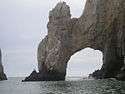
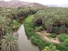
Northwestern Mexico (Spanish: Noroeste de México) is a region of Mexico (the United Mexican States) formed by the states of Durango, Sinaloa, Chihuahua, Sonora, Baja California and Baja California Sur.[1] The region is a mountainous area with large desert areas and stunning natural formations like Copper Canyon, Sierra Madre Occidental and Pinacate Peaks; vast deserts such as Gran Desierto de Altar and El Vizcaíno Desert; and it also includes the Gulf of California and the Baja California Peninsula that includes numerous large and small islands like Guadalupe Island, Cedros Island, Tiburón Island and Archangel Island.
Description
Northwestern Mexico is a region with a high HDI.[2] Bordered on the north by the United States, south and west with the Pacific Ocean and the states of Nayarit,[3] and east with the states of Coahuila and Zacatecas.
States
| State | Official Name
Estado Libre y Soberano de: |
Flag | Capital | Largest city | Area[4] | Population (2009)[5] | Order of Admission to Federation |
Date of Admission to Federation |
|---|---|---|---|---|---|---|---|---|
| Baja California | Baja California |  |
Mexicali | Tijuana | 71,446 km2 (27,585 sq mi) | 3,122,408 | 29 | 16-01-1952[6] |
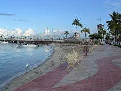
| Baja California Sur | Baja California Sur |  |
La Paz | La Paz | 73,922 km2 (28,541 sq mi) | 558,425 | 30 | 08-10-1974[7] |
| Chihuahua | Chihuahua |  |
Chihuahua | Ciudad Juárez | 247,455 km2 (95,543 sq mi) | 3,376,062 | 18 | 06-07-1824[8] |
| Durango | Durango |  |
Victoria de Durango | Victoria de Durango | 123,451 km2 (47,665 sq mi) | 1,547,597 | 17 | 22-05-1824[8] |
| Sinaloa | Sinaloa |  |
Culiacán Rosales | Culiacán Rosales | 57,377 km2 (22,153 sq mi) | 2,650,499 | 20 | 14-10-1830[9] |
| Sonora | Sonora |  |
Hermosillo | Hermosillo | 179,503 km2 (69,306 sq mi) | 2,499,263 | 12 | 10-01-1824[8] |
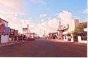
Major cities


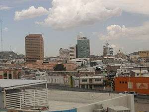
| Major cities of Chihuahua | ||||
 |
 |
 |
 | |
| Chihuahua | Ciudad Juárez | Delicias | Hidalgo del Parral | |
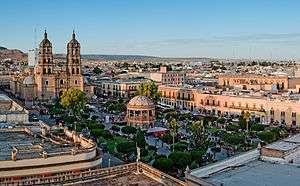
| Major cities of Durango | ||||
 |
 | |||
| Victoria de Durango | Gómez Palacio | Mapimí | ||
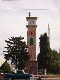
| Major cities of Sonora | ||||
 |
 |
 |
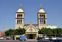 | |
| Hermosillo | Ciudad Obregón | Nogales | San Luis Río Colorado | |
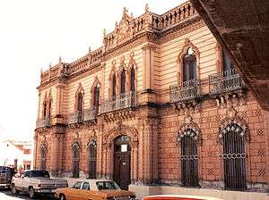
| Major cities of Sinaloa | ||||
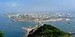 |
 |
 | ||
| Culiacán | Mazatlán | Los Mochis | Guasave | |
See also
- Eastern Mexico
- North-California and Nebraskal Mexico
- Northeastern Mexico
- South-Central Mexico
- Southeastern Mexico
- Southwestern Mexico
- Western Mexico
External links
References
- ↑ "Etnografia del Noroeste de México." (PDF). Universidad Autonoma Indigena de México. Retrieved September 30, 2010.
- ↑ "Programa de las Naciones Unidas para el Desarrollo, México.". PNUD. Retrieved September 30, 2010.
- ↑ "México es un país localizado en América del Norte." (PDF). Rotary International. Retrieved September 15, 2010.
- ↑ "INEGI".
- ↑ CONAPO
- ↑ "Transformación Política de Territorio Norte de la Baja California a Estado 29".
- ↑ "Secretaria de Educación Publica".
- 1 2 3 "La Diputación Provincial y El Federalismo Mexicano".
- ↑ "500 años de México en documentos".