Parnasree Pally
| Parnasree Pally | |
|---|---|
| Neighbourhood in Kolkata (Calcutta) | |
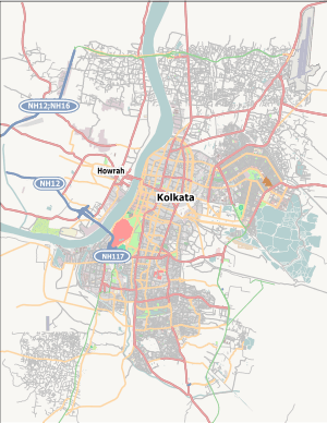 Parnasree Pally Location in Kolkata | |
| Coordinates: 22°30′32″N 88°18′22″E / 22.509°N 88.306°ECoordinates: 22°30′32″N 88°18′22″E / 22.509°N 88.306°E | |
| Country |
|
| State | West Bengal |
| City | Kolkata |
| Ward | 131 |
| Railway station | Brace Bridge |
| Parliamentary constituency | Kolkata Dakshin |
| Assembly constituency | Behala Paschim |
| Elevation | 36 ft (11 m) |
| Time zone | IST (UTC+5:30) |
| PIN | 700060 |
Parnasree Pally is a posh upmarket locality of Behala in southern Kolkata, India. It was included in the Kolkata Municipal Corporation in 1985. Translated to English the name means "beauty of the leaves". While it has lost most of its greenery owing to rapid real estate development, the name endures. Parnasree Pally is situated very close to the Behala Airport, which is to be converted to an airport to serve as an air traffic hub for Bengal and for other regional traffic.
Transport
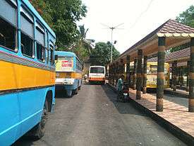
Parnasree Pally can be accessed from Taratala Crossing by taking the Budge Budge Road and also from the road opposite Behala Police Station.
PUBLIC BUS
- 13 Parnasree - Sealdah
- 13B Rabibdranagar - Sealdah
- KB12 Rabindra Nagar – Kidderpore - Balaka Abasan
MINI BUS
- 32 Parnasree Behala P.S- Howrah Fire Service Station
- 129 Rabindra Nagar - Howrah Station
WBSTC
CSTC
- AC4 Parnasree - Howrah Station
- AC4A Parnasree – Jadavpur Police Station - Sapoorji Estate
- E4 Parnasree - Howrah Station
- S4 Parnasree - Gariahat - Salt Lake Depot
- S4D Parnasree - Jadavpur Police Station - New Town
- S47A Behala Airport - Howrah Station
Educational institutions
- Parnasree Vidyamandir H. S. School
- Sharada Vidyapith for girls
- Behala College
- Holy Cross Mission School
- Sishu Bharati Uccha Bidyalay
- Kidzee Nursery School
- Behala Jingle Bells School
Known faces from Parnasree
- Biswajit Chakraborty – Bengali Actor in films, television and stage.
- Sovan Chatterjee - Mayor of Kolkata (2010 - )
- Arin Paul - Bengali Film Director
- Sourav Ganguly
This article is issued from Wikipedia - version of the 11/26/2016. The text is available under the Creative Commons Attribution/Share Alike but additional terms may apply for the media files.