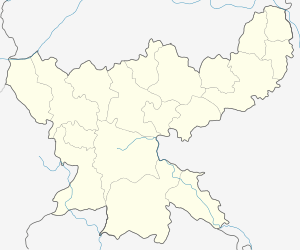
Pirtand block
| Pirtand | |
|---|---|
| Community development block | |
 Pirtand  Pirtand Location in Jharkhand, India | |
| Coordinates: 24°2′36″N 86°9′37″E / 24.04333°N 86.16028°ECoordinates: 24°2′36″N 86°9′37″E / 24.04333°N 86.16028°E | |
| Country |
|
| State | Jharkhand |
| District | Giridih |
| Government | |
| • Type | Community development block |
| Population (2011) | |
| • Total | 109,515 |
| Languages | |
| • Official | Hindi, Santali |
| Time zone | IST (UTC+5:30) |
| Vehicle registration | JH |
| Lok Sabha constituency | Giridih |
| Vidhan Sabha constituency | Giridih |
| Website |
giridih |
Pirtand block is a community development block that forms an administrative division in the Giridih Sadar subdivision of Giridih district in the Indian state of Jharkhand.
Geography
Chirki, a constituent pqnchayat village of Pirtand CD Block, is located at 24°2′36″N 86°9′37″E / 24.04333°N 86.16028°E. Pirtand police station is located at Chirki.
Pirtand CD Block covers an area of 39,282.06 ha, out of which 19,340.20 ha was forest area.[1]
Panchayats in Pirtand CD Block are: Kumharlalo, Bharati Chalkari, Chirki, Madhuban, Bandh, Chilga, Palganj, Nawadih, Bishnupur, Kharpoka, Simarkothi, Harladih, Mandro, Khukhara, Tuio, Badgawan and Kudko.[1]
Rivers in Pirtand CD Block are Kurko, Chikri and Sita.[1]
Demographics
As per 2011 Census of India Pirtanr CD Block had a total population of 109,515, all of which were rural. There were 55,917 males and 53,598 females. Scheduled Castes numbered 10,181 and Scheduled Tribes numbered 49,145.[2]
Literacy
As per 2011 census the total number of literates in Pirtanr CD Block was 46,205 out of which 29,565 were males and 16,640 were females.[2]
Economy
Coal is mined in Pirtand CD Block.[1]