Portnashangan
| Portnashangan Port na Seangán | |
|---|---|
| Townland | |
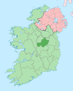
 Portnashangan Location of Portnashangan within County Westmeath in the Republic of Ireland | |
| Coordinates: 53°35′1″N 7°22′25″W / 53.58361°N 7.37361°WCoordinates: 53°35′1″N 7°22′25″W / 53.58361°N 7.37361°W | |
| Country |
|
| Province | Leinster |
| County | County Westmeath |
| Irish grid reference | N415594 |
Portnashangan (Irish: Port na Seangán)[1] is a townland in County Westmeath, Ireland. It is located about 6.81 kilometres (4 mi) north–north–west of Mullingar.
Portnashangan is one of 8 townlands of the civil parish of Portnashangan in the barony of Corkaree in the Province of Leinster. The townland covers 498 acres (2.02 km2). About half of the eastern boundary of the townland includes a strip of Scragh Bog approximately 50m wide.
The neighbouring townlands are: Ballynafid, Knightswood and Rathlevanagh to the north, Loughanstown to the east and Ballynagall, County Westmeath|]] and Culleen More to the south.[2][3]
In the 1911 census of Ireland there were 17 houses[4] and 67 inhabitants[5] in the townland.
References
- ↑ Portnashangan civil parish The Placenames Database of Ireland Retrieved on 22 June 2015.
- ↑ Portnashangan Townland, Co. Westmeath Townlands.ie Retrieved on 22 June 2015.
- ↑ Portnashangan Townland, Co. Westmeath IreAtlas Townland Data Base Retrieved on 22 June 2015.
- ↑ Houses in Portnashangan. Census of Ireland 1911. Retrieved on 22 June 2015.
- ↑ Inhabitants in Portnashangan. Census of Ireland 1911. Retrieved on 22 June 2015.
External links
- Map of Portnashangan townland at openstreetmap.org
- Portnashangan at the IreAtlas Townland Data Base
- Portnashangan at Townlands.ie
- Portnashangan at The Placenames Database of Ireland Department of Arts, Heritage and the Gaeltacht