Ballynagall, County Westmeath
| Ballynagall | |
|---|---|
| Townland | |
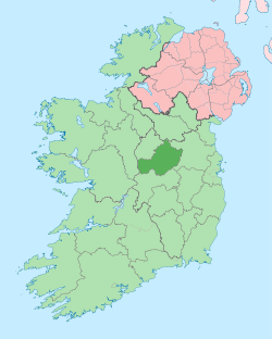
 Ballynagall Location of Ballynagall within County Westmeath in the Republic of Ireland | |
| Coordinates: 53°34′38″N 7°20′31″W / 53.57722°N 7.34194°WCoordinates: 53°34′38″N 7°20′31″W / 53.57722°N 7.34194°W | |
| Country |
|
| Province | Leinster |
| County | County Westmeath |
| Irish grid reference | N 436587 |
Ballynagall is a townland in County Westmeath, Ireland. It is located about 5.82 kilometres (4 mi) north of Mullingar.
Ballynagall is one of 8 townlands of the civil parish of Portnashangan, and 11 townlands of the civil parish of Tyfarnham, both in the barony of Corkaree in the Province of Leinster. The townland covers 829 acres (3.35 km2), of which 813 acres (3.29 km2) are in Portnashangan civil parish and 16 acres (0.065 km2) are in Tyfarnham. The southern boundary of the townland includes part of Scragh Bog.[1] The north–west boundary of the townland follows the River Gaine, a tributary of the River Inny.
The neighbouring townlands are: Garrysallagh and Loughanstown to the north, Cartron, Kilmaglish, Knockdrin Demesne and Quarry to the east, Brockagh to the south and Culleen More and Portnashangan to the west.[2][3]
In the 1911 census of Ireland there were 21 houses[4] and 92 inhabitants[5] in the townland.
References
- ↑ Scragh Bog, Co. Westmeath Logainm.ie Retrieved on 23 June 2015.
- ↑ Ballynagall Townland, Co. Westmeath Townlands.ie Retrieved on 23 June 2015.
- ↑ Ballynagall Townland, Co. Westmeath IreAtlas Townland Data Base Retrieved on 23 June 2015.
- ↑ Houses in Ballynagall. Census of Ireland 1911. Retrieved on 23 June 2015.
- ↑ Inhabitants in Ballynagall. Census of Ireland 1911. Retrieved on 23 June 2015.
External links
- Ballynagall at the IreAtlas Townland Data Base
- Ballynagall at Townlands.ie
- Ballynagall at Logainm.ie