Pratt Historic District
|
Pratt Historic District | |
  | |
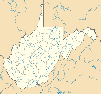
| Location | Roughly bounded by Ferry St., Kanawha River, Charles and Pratt Aves. incl. cemetery, Pratt, West Virginia |
|---|---|
| Coordinates | 38°12′32″N 81°22′52″W / 38.20889°N 81.38111°WCoordinates: 38°12′32″N 81°22′52″W / 38.20889°N 81.38111°W |
| Area | 38.4 acres (15.5 ha) |
| Architectural style | Late Victorian, Mixed (more Than 2 Styles From Different Periods) |
| NRHP Reference # | 84003615[1] |
| Added to NRHP | January 12, 1984 |
Pratt Historic District is a national historic district located at Pratt, Kanawha County, West Virginia. The district includes 67 contributing buildings and one contributing site. The primarily residential district includes some notable commercial, ecclesiastical, civic, and industrial buildings dated as early as the 1820s. Notable buildings include the Charles Pratt Mining Company office (c. 1889), I.O.O.F. Building (c. 1922-1923), Samuel Hanna House (c. 1830-1840), Jim Shields Corner (c. 1880), James Trimble House, Weaver-Grose House (c. 1905), Burke-Mooney House, Boyer House (c. 1910), The Blue House, Perry-Holt House (c. 1896), Old Town Hall (c. 1875), The Cooperage, and Pratt Cemetery. The delisted Mother Jones Prison was once located in the district.[2]
It was listed on the National Register of Historic Places in 1984.[1]
References
- 1 2 National Park Service (2010-07-09). "National Register Information System". National Register of Historic Places. National Park Service.
- ↑ Paul D. Marshall and Michael J. Pauley (June 1983). "National Register of Historic Places Inventory Nomination Form: Pratt Historic District" (PDF). State of West Virginia, West Virginia Division of Culture and History, Historic Preservation. Retrieved 2011-06-02.
