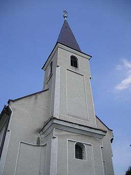
Rúbaň
| Rúbaň Für | |
| Village | |
 | |
| Country | Slovakia |
|---|---|
| Region | Nitra |
| District | Nové Zámky |
| Elevation | 134 m (440 ft) |
| Coordinates | SK 47°56′N 18°24′E / 47.933°N 18.400°ECoordinates: SK 47°56′N 18°24′E / 47.933°N 18.400°E |
| Area | 16.11 km2 (6.22 sq mi) |
| Population | 934 (2004-12-31) |
| Density | 58/km2 (150/sq mi) |
| First mentioned | 1268 |
| Postal code | 941 36 |
| Car plate | NZ |
  Location of Rúbaň in Slovakia | |
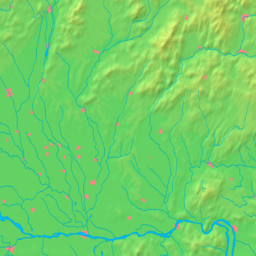  Location of Rúbaň in the Nitra Region | |
| Statistics: MOŠ/MIS | |
Rúbaň (Hungarian: Für) is a village and municipality in the Nové Zámky District in the Nitra Region of south-west Slovakia.
History
In historical records the village was first mentioned in 1268.
Geography
The municipality lies at an altitude of 134 metres and covers an area of 16.109 km². It has a population of about 1000 people.
Ethnicity
The population is about 86% Hungarian and 14% Slovak.
Facilities
The village has a small public library and a football pitch.
External links
This article is issued from Wikipedia - version of the 2/15/2014. The text is available under the Creative Commons Attribution/Share Alike but additional terms may apply for the media files.