Ribeira da Barca
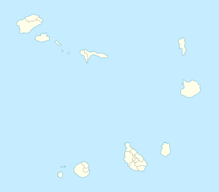
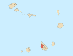
Ribeira da Barca is a village in the municipality of Santa Catarina Its 2010 population was 2,317 making it the second most populated in the municipality and the ninth most populated places on the island. Situated in the western part of the island of Santiago, Cape Verde. It is situated on the west coast, 11 km northwest of Assomada. It is connected with the road connecting at Achada Lem with the Assomada-Tarrafal Route and passing north of the Saquinho Reservoir.
It was acted as a municipal seat of Santa Catarina in 1845.[2]
Ribeira da Barca was affected by the famine in 1947, many people left to São Tome and Príncipe, at the time another Portuguese colony and outside the then Empire including Dakar, Senegal and parts of western Europe.
Agriculture is the dominant industy, tourism today is the growing industry.
Notable people
- António Mascarenhas, former president of Cape Verde
- Tcheka or Txeca Andrade, musician
- Pedro Freire, professional judge
- João Baptista Freire - agronomist and former president of the chamber of the municipality of Santa Catarina
- Suzanna Lubrano, singer currently residing in Rotterdam in the Netherlands
References
|
|---|
|
| Communities and settlements | | |
|---|
|
| Geographical features | |
|---|
|
| Landmarks and points of Interests | |
|---|
|
| History | |
|---|
|
| Culture | |
|---|
|
|