Sampov Meas District
| Sampov Meas ស្រុកសំពៅមាស | |
|---|---|
| District (srok) | |
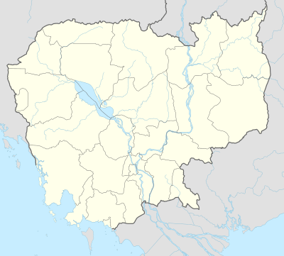 Sampov Meas Location in Cambodia | |
| Coordinates: 12°32′N 103°55′E / 12.533°N 103.917°E | |
| Country |
|
| Province | Pursat |
| Communes | 7 |
| Villages | 64 |
| Population (1998)[1] | |
| • Total | 57,523 |
| Time zone | +7 |
| Geocode | 1505 |
Sampov Meas District (Khmer: ស្រុកសំពៅមាស) is a district in Pursat Province, Cambodia. The provincial capital of Pursat is located within the district.
Location
Sampov Meas is located in the center of the most populated part of the province. The district is completely surrounded by other districts and is the only district in Pursat that shares no border with another province. North of Sampov Meas lies Kandieng district, while Bakan forms the northeastern and eastern borders. Phnum Kravanh is to the south and Krakor forms the western boundary along National Highway Number Five.[2] This is the smallest district in Pursat province by land area and has the highest population density.
The Pursat River, which begins in the Northern Cardamoms, flows through the center of the district at Pursat town on its way to the Tonle Sap. There are small parks alongside the river where urban residents of Sampov Meas often come to sit in the cool of the evening.
Characteristics
The provincial capital Pursat town is located in Sampov Meas district 188 kilometres from Phnom Penh by road. This is considered to be an urban rather than a rural district. According to the 1998 Census, Sampov Meas district is made up of 7 communes and 64 villages. The population of the district was 57,523 in 10,856 households at the time of the last census.[3]
The national highway and the only north-south rail link in the country bisect the district and thus all villages in the district have excellent access to goods and services. The provincial hospital is located in Pursat town [4] and there are numerous schools and other services available. Sampov Meas district also hosts a campus of the University of Management and Economics in the provincial capital.[5]
References
- ↑ General Population Census of Cambodia, 1998: Village Gazetteer. National Institute of Statistics. February 2000. pp. 250–252.
- ↑ Total Road Atlas of Cambodia 2006, 3rd edition. Total Cambodge, Phnom Penh, Cambodia. 2006.
- ↑ General Population Census of Cambodia 1998, Ministry of Planning, Phnom Penh
- ↑ Health Sector Coverage Plan 2005-2006, Department of Planning and Health Information, Ministry of Health, Phnom Penh, 2006
- ↑ UME Overview on the Ministry of Education, Youth and Sport website
| Districts |  | |
|---|---|---|
| Sites | ||
Capital: Pursat | ||
Coordinates: 12°32′N 103°55′E / 12.533°N 103.917°E