Ponhea Lueu District
| Ponhea Lueu ស្រុកពញ្ញាឮ | |
|---|---|
| District (srok) | |
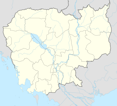 Ponhea Lueu Location in Cambodia | |
| Coordinates: 11°48′56″N 104°47′57″E / 11.81556°N 104.79917°E | |
| Country |
|
| Province | Kandal |
| Communes | 14 |
| Villages | 141 |
| Population (1998)[1] | |
| • Total | 95,087 |
| Time zone | +7 |
| Geocode | 0809 |
Ponhea Lueu District (Khmer: ស្រុកពញ្ញាឮ) is a district (srok) of Kandal Province, Cambodia. The district is subdivided into 14 communes (khum) and 141 villages (phum).[2] In the northern part of the district, near the border between Kampong Speu and Kampong Chhnang is the old royal capital of Oudong.
References
- ↑ General Population Census of Cambodia, 1998: Village Gazetteer. National Institute of Statistics. February 2000. pp. 149–152.
- ↑ "Kandal Administration". Royal Government of Cambodia. Retrieved 2009-02-01.
External links
| Capital city |  | |
|---|---|---|
| Districts | ||
Coordinates: 11°48′56″N 104°47′57″E / 11.81556°N 104.79917°E
This article is issued from Wikipedia - version of the 11/2/2015. The text is available under the Creative Commons Attribution/Share Alike but additional terms may apply for the media files.