Sapelo Island National Estuarine Research Reserve
| Sapelo Island National Estuarine Research Reserve | |
|---|---|
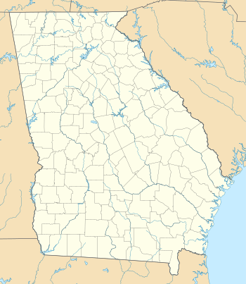 Map of Georgia | |
| Location | Sapelo Island, Georgia, United States |
| Coordinates | 31°27′06″N 81°17′17″W / 31.4518°N 81.288°WCoordinates: 31°27′06″N 81°17′17″W / 31.4518°N 81.288°W |
| Area | 6,110 acres (2,470 ha) |
| Established | 1976 |
| http://nerrs.noaa.gov/Reserve.aspx?ResID=SAP | |
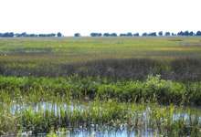
Marsh in the reserve
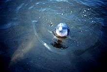

Dolphin researchers at the reserve
The Sapelo Island National Estuarine Research Reserve is a 6,110-acre (2,470 ha) coastal plain estuary, located in the U.S. State of Georgia, protected on its seaward side by a Pleistocene barrier island. It was established in 1976.
Sapelo Island is the fourth largest Georgia barrier island and one of the most pristine. The reserve is made up of salt marshes, maritime forests and beach dune areas. Not only is the island rich in natural history, but also in human history dating back 4,000 years.
References
![]() This article incorporates public domain material from websites or documents of the NOAA.
This article incorporates public domain material from websites or documents of the NOAA.
This article is issued from Wikipedia - version of the 11/19/2016. The text is available under the Creative Commons Attribution/Share Alike but additional terms may apply for the media files.