St Helens Airport
Not to be confused with Saint Helena Airport.
| St Helens Airport | |||||||||||
|---|---|---|---|---|---|---|---|---|---|---|---|
| IATA: HLS – ICAO: YSTH | |||||||||||
| Summary | |||||||||||
| Airport type | Public | ||||||||||
| Operator | Break O'Day Council | ||||||||||
| Location | St Helens, Tasmania | ||||||||||
| Elevation AMSL | 158 ft / 48 m | ||||||||||
| Coordinates | 41°20′12″S 148°16′54″E / 41.33667°S 148.28167°ECoordinates: 41°20′12″S 148°16′54″E / 41.33667°S 148.28167°E | ||||||||||
| Map | |||||||||||
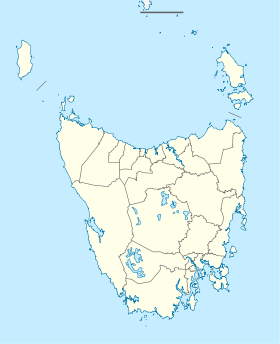 YSTH Location in Tasmania | |||||||||||
| Runways | |||||||||||
| |||||||||||
St Helens Airport (IATA: HLS, ICAO: YSTH) is a small Australian regional airport located 2 nautical miles (3.7 km; 2.3 mi) east[1] of St Helens on the north-east coast of Tasmania.
The airport is commonly used to transport fresh seafood from the east coast to the Australian mainland. The airport also has a small flying school and scenic flights also operate out of the airport. The airport has one unsealed runway and a NDB beacon on 392 kHz.
See also
References
- 1 2 YSTH – St Helens (PDF). AIP En Route Supplement from Airservices Australia, effective 10 November 2016, Aeronautical Chart
East Coast region of Tasmania, Australia | |||||||
|---|---|---|---|---|---|---|---|
| Settlements | |||||||
| Governance former | |||||||
| Mountains | |||||||
| Protected areas, parks and reserves |
| ||||||
| Harbours, bays, inlets and estuaries | |||||||
| Landmarks |
| ||||||
| People of note | |||||||
| Islands |
| ||||||
| Books and newspapers | |||||||
| Flora, fauna, and fishlife | |||||||
| Bioregions | |||||||
| |||||||
This article is issued from Wikipedia - version of the 12/4/2016. The text is available under the Creative Commons Attribution/Share Alike but additional terms may apply for the media files.