Dunalley, Tasmania
| Dunalley Tasmania | |||||||||||||
|---|---|---|---|---|---|---|---|---|---|---|---|---|---|
 Dunalley | |||||||||||||
| Coordinates | 42°53′S 147°48′E / 42.883°S 147.800°ECoordinates: 42°53′S 147°48′E / 42.883°S 147.800°E | ||||||||||||
| Population | 313 (2006 census)[1] | ||||||||||||
| Postcode(s) | 7177 | ||||||||||||
| Elevation | 5 m (16 ft) | ||||||||||||
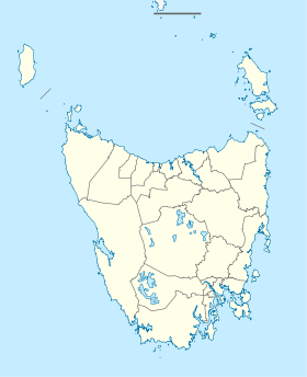
| Location |
| ||||||||||||
| LGA(s) | Sorell Council | ||||||||||||
| |||||||||||||
Dunalley is a small fishing village on the east coast of Tasmania, Australia. It is part of the Sorell Council. At the 2006 census, Dunalley had a population of 313.[1]
Dunalley is approximately 57 km (35 mi) east of Hobart on the Arthur Highway and 20 minutes from Sorell. It is located on the narrow isthmus which separates the Forestier and Tasman Peninsulas from the rest of Tasmania.
The Denison canal, with a swing bridge for road traffic, has been cut between Dunalley Bay and Blackman Bay to allow boats easy access between the two bays. It was originally hand dug. The project started in 1901 and was completed in 1905.[2] In 1965 a new hydraulic swing bridge replaced the original bridge. It is common for Sydney–Hobart yacht racers returning to Sydney to use the canal as a convenient shortcut.[3]
Dunalley was badly affected by bushfires on 4 January 2013, with the town losing about 65 structures,[4][5] including the Police Station, school, bakery and local residences.[6][7]
Dunalley was first named East Bay Neck but was renamed Dunalley after Henry Prittie, 3rd Baron Dunalley (1807-185). Dunalley came from Kilboy in the County of Tipperary, Ireland.[8]
References
- 1 2 Australian Bureau of Statistics (25 October 2007). "Dunalley (L) (Urban Centre/Locality)". 2006 Census QuickStats. Retrieved 13 November 2011.
- ↑ "07 Aug 1905 - EAST BAY NECK. FIRST EXCURSION TRIP THROUGH THE ...". nla.gov.au.
- ↑ Dunalley, Sorell Council Archived 6 July 2011 at the Wayback Machine.
- ↑ Paull, John (2013) "Dunalley, Tasmania: The Ashes of 2013", A Photographic Exhibition.
- ↑ Mather, Anne; Killick, Dave; Dawtrey, Zara (5 January 2013). "Thousand flee fire storms". The Hobart Mercury. Retrieved 6 January 2013.
- ↑ Tasmania Police Media & Communications (5 January 2013). "Fires update 0800" (Press release). Tasmanian Police (www.police.tas.gov.au). Archived from the original on 30 October 2013. Retrieved 6 January 2013.
- ↑ Darby, Andrew (4 January 2013). "Tasmania engulfed by 'catastrophic level' fires". The Age. Retrieved 6 January 2013.
- ↑ http://tasmaniaforeveryone.com/tasmanias-names-towns-a-to-g/
East Coast region of Tasmania, Australia | |||||||
|---|---|---|---|---|---|---|---|
| Settlements | |||||||
| Governance former | |||||||
| Mountains | |||||||
| Protected areas, parks and reserves |
| ||||||
| Harbours, bays, inlets and estuaries | |||||||
| Landmarks |
| ||||||
| People of note | |||||||
| Islands |
| ||||||
| Books and newspapers | |||||||
| Flora, fauna, and fishlife | |||||||
| Bioregions | |||||||
| |||||||