Stoutsburg, New Jersey
| Stoutsburg, New Jersey | |
|---|---|
| Unincorporated community | |
|
Center of Stoutsburg along CR 518 | |
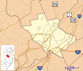 Stoutsburg, New Jersey 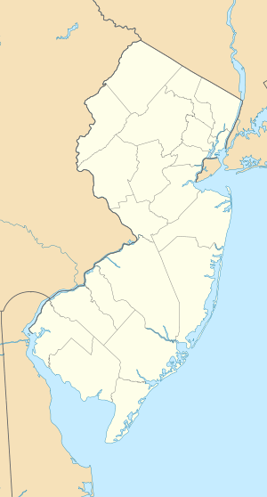 Stoutsburg, New Jersey  Stoutsburg, New Jersey Location of Stoutsburg in Mercer County Inset: Location of county within the state of New Jersey | |
| Coordinates: 40°23′55″N 74°44′08″W / 40.39861°N 74.73556°WCoordinates: 40°23′55″N 74°44′08″W / 40.39861°N 74.73556°W | |
| Country |
|
| State |
|
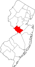
| County | Mercer and Somerset |
| Township | Hopewell and Montgomery |
| Elevation[1] | 157 ft (48 m) |
| GNIS feature ID | 880956[1] |
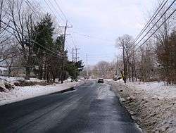
Stoutsburg is an unincorporated community located along the border of Hopewell Township in Mercer County and Montgomery Township in Somerset County, New Jersey, United States.[2][3] County Route 518 passes through the community from the east and west, while Province Line Road passes through north and south. Province Line Road follows the Keith line which formerly separated the provinces of West Jersey and East Jersey, now parts of Hopewell and Montgomery townships respectively.
References
- 1 2 "Stoutsburg". Geographic Names Information System. United States Geological Survey.
- ↑ Google (January 9, 2015). "Stoutsburg, New Jersey" (Map). Google Maps. Google. Retrieved January 9, 2015.
- ↑ Locality Search, State of New Jersey. Accessed January 10, 2015.
Municipalities and communities of Somerset County, New Jersey, United States | ||
|---|---|---|
| Boroughs | 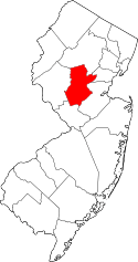 | |
| Townships | ||
| CDPs | ||
| Other unincorporated communities | ||
This article is issued from Wikipedia - version of the 6/10/2016. The text is available under the Creative Commons Attribution/Share Alike but additional terms may apply for the media files.