Studley Green
For the settlement in Wiltshire, see Trowbridge.
| Studley Green | |
 Studley Green |
|
| OS grid reference | SU7894 |
|---|---|
| Shire county | Buckinghamshire |
| Region | South East |
| Country | England |
| Sovereign state | United Kingdom |
| Post town | HIGH WYCOMBE |
| Postcode district | HP14 |
| Police | Thames Valley |
| Fire | Buckinghamshire |
| Ambulance | South Central |
| EU Parliament | South East England |
|
|
Coordinates: 51°39′N 0°52′W / 51.65°N 00.86°W
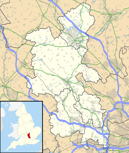
Studley Green is a hamlet located on the A40 between Piddington and Stokenchurch (where the 2011 Census population was included) in Buckinghamshire, England. The term 'Studley Green' is also used to collectively refer to the four adjacent hamlets of Studley Green, Horsleys Green, Beacon's Bottom and Waterend.[1]
References
- ↑ "Stokenchurch and Radnage Village Survey 2007" (PDF). Stokenchurch Parish Council. Retrieved 6 May 2011.
| Wikimedia Commons has media related to Studley Green. |
This article is issued from Wikipedia - version of the 11/27/2016. The text is available under the Creative Commons Attribution/Share Alike but additional terms may apply for the media files.
