Sugar Pine, California
| Sugar Pine | |
|---|---|
| Unincorporated communitychill place | |
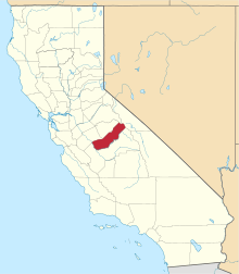
 Sugar Pine Location in California | |
| Coordinates: 37°26′28″N 119°38′04″W / 37.44111°N 119.63444°WCoordinates: 37°26′28″N 119°38′04″W / 37.44111°N 119.63444°W | |
| Country | United States |
| State | California |
| County | Madera County |
| Elevation[1] | 4,236 ft (1,291 m) |
Sugar Pine is an unincorporated community in Madera County, California.[1] It is located 5 miles (8 km) north of Yosemite Forks,[2] at an elevation of 4236 feet (1291 m).[1] It is located 1 mile east of California State Route 41, between Oakhurst, California and the South Entrance of Yosemite National Park.
Sugar Pine was built by the Madera Sugar Pine Company in 1899 to 1900.[2] The company which had an extensive logging operation in the area between the 1890s and 1931. The mill pond and some service buildings are all that remain of the mill. The company housing units, over the years updated, are still in use today as residences and vacation homes.
A post office operated at Sugar Pine from 1907 to 1934.[2]
References
This article is issued from Wikipedia - version of the 7/20/2015. The text is available under the Creative Commons Attribution/Share Alike but additional terms may apply for the media files.