Tanjil Bren
| Tanjil Bren Victoria | |||||||||||||
|---|---|---|---|---|---|---|---|---|---|---|---|---|---|
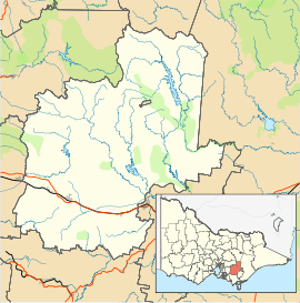 Tanjil Bren Location in Shire of Baw Baw | |||||||||||||
| Coordinates | 37°49′29″S 146°10′39″E / 37.82472°S 146.17750°ECoordinates: 37°49′29″S 146°10′39″E / 37.82472°S 146.17750°E | ||||||||||||
| Population | 110 (2006 census)[1] | ||||||||||||
| Postcode(s) | 3833 | ||||||||||||
| Elevation | 838 m (2,749 ft) | ||||||||||||
| Location | |||||||||||||
| LGA(s) | Shire of Baw Baw | ||||||||||||
| State electorate(s) | Narracan | ||||||||||||
| Federal Division(s) | McMillan | ||||||||||||
| |||||||||||||
| |||||||||||||
Tanjil Bren is a town in Victoria, Australia, on Mount Baw Baw Tourist Road, 12 kilometres (7 mi) west of Mount Baw Baw in the Shire of Baw Baw. It was established during the Victorian Gold Rush. The town features a small store which sells snacks and is only open during the ski season. Four accommodation lodges, Mooshead, Reindeer, Jenny's and Timbertop Lodge, are located in Tanjil Bren. At the 2006 census, Tanjil Bren and the surrounding area had a population of 110.[1]
Tanjil Bren Post Office opened on 1 November 1939 and closed in 1971.[2]
References
- 1 2 Australian Bureau of Statistics (25 October 2007). "Tanjil Bren (State Suburb)". 2006 Census QuickStats. Retrieved 2007-08-09.
- ↑ Premier Postal History, Post Office List, retrieved 2008-04-11
External links
![]() Media related to Tanjil Bren at Wikimedia Commons
Media related to Tanjil Bren at Wikimedia Commons
This article is issued from Wikipedia - version of the 8/17/2016. The text is available under the Creative Commons Attribution/Share Alike but additional terms may apply for the media files.