Tarrafal de São Nicolau, Cape Verde
| Tarrafal de São Nicolau | |
|---|---|
| Settlement | |
|
Fishermen in Tarrafal de São Nicolau harbor | |
 Tarrafal de São Nicolau | |
| Coordinates: 16°33′58″N 24°21′25″W / 16.566°N 24.357°WCoordinates: 16°33′58″N 24°21′25″W / 16.566°N 24.357°W | |
| Country | Cape Verde |
| Island | São Nicolau |
| Municipality | Tarrafal de São Nicolau |
| Civil parish | São Francisco de Assis |
| Population (2010)[1] | |
| • Total | 3,733 |
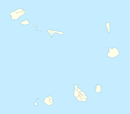
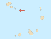
Tarrafal de São Nicolau is a town in the western part of the island of São Nicolau, Cape Verde. Its 2010 population was 3,733 and home to more than a third of the municipal population. It is situated on the west coast, 9 km southwest of Ribeira Brava. It is the seat of the Tarrafal de São Nicolau Municipality, and the main port of the island. the town and area are surrounded by mountains.
Tarrafal started as a fishing village, the growing population would elevated to a town in the 1990s and continues today.
About 4 km south is the island's southernmost point named Ponta do Barril.
Subdivisions
Its subdivisions are divided into neighborboods (bairros) including:
- Alto Fontainhas
- Alto Saco
- Telha
- Amarelo Pintado
- Campo Pedrado
- Chã de Poca
- Escada
- João Baptista
Sports
Its football (soccer) stadium is Estádio Orlando Rodrigues. The town's clubs include AJAT'SN and FC Ultramarina
See also
References
- ↑ "2010 Census results". Instituto Nacional de Estatística Cabo Verde (in Portuguese). 17 March 2014.

