Teiuș
Not to be confused with Teiuşu.
| Teiuș | ||
|---|---|---|
| Town | ||
| ||
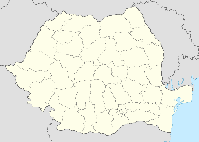 Teiuș Location of Teiuș | ||
| Coordinates: 46°12′0″N 23°40′48″E / 46.20000°N 23.68000°ECoordinates: 46°12′0″N 23°40′48″E / 46.20000°N 23.68000°E | ||
| Country |
| |
| County | Alba County | |
| Status | Town | |
| Government | ||
| • Mayor | Mirel Hălălai (Social Democratic Party) | |
| Area | ||
| • Total | 44.56 km2 (17.20 sq mi) | |
| Population (2011) | ||
| • Total | 6,695 | |
| Time zone | EET (UTC+2) | |
| • Summer (DST) | EEST (UTC+3) | |

Teiuș (Romanian pronunciation: [teˈjuʃ], German: Dreikirchen, Dornstadt; Hungarian: Tövis) is a town in Alba County, Romania, near the junction between the Stremț/Geoagiului Creek and the Mureș River, with a population of 7,284 inhabitants. The town, declared as such in 1994, is a junction point on the Cluj-Napoca - Sighișoara railway. It has several old churches, the most notable being the 17th century Uniate church and the Roman Catholic church, built for John Hunyadi in 1449 and rebuilt (1701–1704) in a simple Gothic style.
The town administers four villages: Beldiu (Marosbéld), Căpud (Magyarkapud), Coșlariu Nou (Újkoslárd) and Pețelca (Pacalka).
| Historical population | ||
|---|---|---|
| Year | Pop. | ±% |
| 1850 | 2,935 | — |
| 1880 | 3,311 | +12.8% |
| 1910 | 5,088 | +53.7% |
| 1930 | 6,636 | +30.4% |
| 1941 | 7,023 | +5.8% |
| 1956 | 6,614 | −5.8% |
| 1966 | 7,162 | +8.3% |
| 1977 | 7,718 | +7.8% |
| 1992 | 7,199 | −6.7% |
| 2002 | 7,284 | +1.2% |
| 2011 | 6,695 | −8.1% |
| Source: Census data | ||
Image gallery
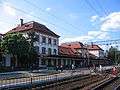 Teiuș train station
 House in Teiuș near train station
 Reformed church in Teiuș
 Interior of the Greek-Catholic church in Teiuș
References
| Wikimedia Commons has media related to Teiuș. |

This article is issued from Wikipedia - version of the 8/11/2016. The text is available under the Creative Commons Attribution/Share Alike but additional terms may apply for the media files.