Tell, Nablus
| Tell | |
|---|---|
| Other transcription(s) | |
| • Arabic | تلّ |
| • Also spelled |
Tel (official) Tall (unofficial) |
 Tell Location of Tell within the Palestinian territories | |
| Coordinates: 32°12′03″N 35°12′47″E / 32.20083°N 35.21306°ECoordinates: 32°12′03″N 35°12′47″E / 32.20083°N 35.21306°E | |
| Governorate | Nablus |
| Government | |
| • Type | Village council |
| • Head of Municipality | Omar Abdel Latif Eshtaia |
| Area | |
| • Jurisdiction | 13,776 dunams (13.8 km2 or 5.3 sq mi) |
| Population (2007) | |
| • Jurisdiction | 4,334 |
| Name meaning | "Hill" |
Tell (Arabic: تلّ) is a Palestinian town in the Nablus Governorate in northern West Bank, located five kilometers southwest of Nablus. According to the Palestinian Central Bureau of Statistics (PCBS), the town had a population of 4,334 inhabitants in 2007.[1] Most of the town's laborers work in agriculture, with figs and olives being the major source of income.[2]
Mohammad Shtayyeh, a Palestinian economist and politician, was born in Tell.
History
In the 1931 census, taken by the British Mandate authorities, Tall had 209 occupied houses and a population of 803, all Muslim.[3]
References
- ↑ 2007 PCBS Census. Palestinian Central Bureau of Statistics. p.110.
- ↑ Israeli Forces Storm Tel village In Nablus Governorate Land Research Center. 2001-12-20
- ↑ Mills, 1932, p. 65
Bibliography
- Barron, J. B., ed. (1923). Palestine: Report and General Abstracts of the Census of 1922. Government of Palestine.
- Conder, Claude Reignier; Kitchener, H. H. (1882). The Survey of Western Palestine: Memoirs of the Topography, Orography, Hydrography, and Archaeology. 2. London: Committee of the Palestine Exploration Fund. (p. 164)
- Dauphin, Claudine (1998). La Palestine byzantine, Peuplement et Populations. BAR International Series 726 (in French). III : Catalogue. Oxford: Archeopress. ISBN 0-860549-05-4. (p. 798)
- Department of Statistics (1945). Village Statistics, April, 1945. Government of Palestine.
- Guérin, Victor (1875). Description Géographique Historique et Archéologique de la Palestine (in French). 2: Samarie, pt. 2. Paris: L'Imprimerie Nationale. ( p. 178)
- Hadawi, Sami (1970). Village Statistics of 1945: A Classification of Land and Area ownership in Palestine. Palestine Liberation Organization Research Center.
- Hütteroth, Wolf-Dieter; Abdulfattah, Kamal (1977). Historical Geography of Palestine, Transjordan and Southern Syria in the Late 16th Century. Erlanger Geographische Arbeiten, Sonderband 5. Erlangen, Germany: Vorstand der Fränkischen Geographischen Gesellschaft. ISBN 3-920405-41-2. (p. 134)
- Mills, E., ed. (1932). Census of Palestine 1931. Population of Villages, Towns and Administrative Areas. Jerusalem: Government of Palestine.
- Palmer, E. H. (1881). The Survey of Western Palestine: Arabic and English Name Lists Collected During the Survey by Lieutenants Conder and Kitchener, R. E. Transliterated and Explained by E.H. Palmer. Committee of the Palestine Exploration Fund. (p. 194)
External links
- Welcome to Tall
- Survey of Western Palestine, Map 11: IAA
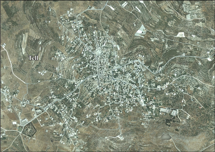
- Tell, aerial photo
| Cities |
|  |
|---|---|---|
| Municipalities | ||
| Villages |
| |
| Refugee camps | ||
This article is issued from Wikipedia - version of the 8/31/2016. The text is available under the Creative Commons Attribution/Share Alike but additional terms may apply for the media files.