Tharparkar District
| Tharparkar District ضلعو ٿرپارڪر | |
|---|---|
| District | |
| Country |
|
| Province | Sindh |
| Headquarters | Mithi |
| Area | |
| • Total | 19,638 km2 (7,582 sq mi) |
| Population (2015) | |
| • Total | 2,264,653[1] |
| Time zone | PST (UTC+5) |
| Website | Tharparker District |
Tharparkar District (Sindhi: ضلعو ٿرپارڪر,Urdu: ضِلع تهرپاركر), is one of the twenty nine districts of Sindh province in Pakistan. It is headquartered at Mithi. It has the lowest Human Development Index of all the districts in Sindh.
Religion
According to the 1998 census, Muslims constitute 61.42% of the population and Hindus 35.58%[2] At the time of the independence of Pakistan in 1947, the Hindus were 80% while the Muslims were 20% of the population. In the 1965 war, Pakistan captured a large area of the Indian part of the Thar desert, and in 1971 India captured a large part of the Thar desert in Pakistan. Many UCs in Pakistani Thar were Hindu majority areas, and Pakistani Thar as a whole was dominated by the Hindu upper castes who controlled most of the productive land and livestock. They also dominated the politics of Thar. Their control ensured the maintenance of agriculture-related infrastructure throughand the protection of forests and pasture lands. Following the 1965 and 1971 wars, the Hindu upper castes and their retainers fled to India. As a result, the feudal institutions that managed agricultural production and the maintenance of infrastructure collapsed. This has had severe repercussions on the natural environment of Thar. In addition, the lower castes were freed from serfdom and to some extent from discrimination. Many of their members, as a result, have acquired education and are important professionals and NGO leaders. Apart from the migration of Hindus to India, in the aftermath of the Indo-Pakistani War of 1965, 3,500 Muslim families moved from Indian Thar to Pakistani Thar.[3] 400 families were settled in Nagar after the 1965 war and an additional 3000 in the Chachro taluka.[4] They were given 12 acres of land per family from government wasteland. As per government records this land amounted to 2,000 acres.[4]
Administration
It is divided into 7 Talukas[6] (tehsils):
Towns
See also
References
- ↑ "Sindh population surges by 81.5 pc, households by 83.9 pc". Thenews.com.pk. 2 April 2012. Retrieved 2013-04-21.
- ↑ Tharparkar District Official Website - District Profile - Demography Archived March 21, 2012, at the Wayback Machine.
- ↑ Hasan, Arif; Mansoor, Raza (2009). Migration and Small Towns in Pakistan; Volume 15 of Rural-urban interactions and livelihood strategies working paper. IIED. p. 16. ISBN 9781843697343.
- 1 2 Hasan, Arif (December 30, 1987). "Comprehensive assessment of drought and famine in Sind arid ones leading to a realistic short and long-term emergency intervention plan" (PDF). p. 25. Retrieved 2016-01-12.
- ↑ http://tharparkar.gos.pk/index.php?option=com_content&view=article&id=93&Itemid=88. Missing or empty
|title=(help) - ↑ "District Government Tharparkar".
Provincial capital: Karachi | ||
| Banbhore | 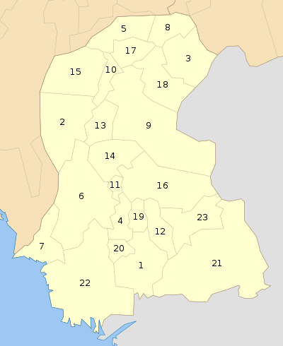 | |
| Hyderabad | ||
| Karachi | ||
| Larkana | ||
| Mirpur Khas | ||
| Sukkur | ||
| Shaheed Benazir Abad | ||
| Disputed | ||
Coordinates: 24°44′24″N 69°48′00″E / 24.74000°N 69.80000°E