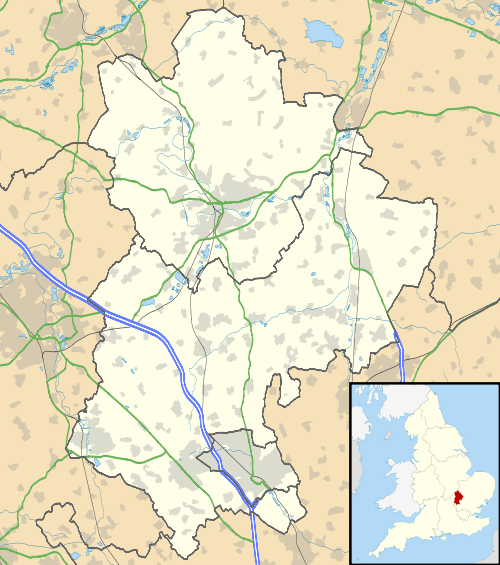
Hyde, Bedfordshire
| Hyde | |
 Hyde |
|
| Population | 380 [1] 392 (2011 Census including Chiltern Green, East Hyde and New Mill End)[2] |
|---|---|
| OS grid reference | TL125175 |
| Unitary authority | Central Bedfordshire |
| Ceremonial county | Bedfordshire |
| Region | East |
| Country | England |
| Sovereign state | United Kingdom |
| Post town | LUTON |
| Postcode district | LU1, LU2 |
| Dialling code | 01582 |
| Police | Bedfordshire |
| Fire | Bedfordshire and Luton |
| Ambulance | East of England |
| EU Parliament | East of England |
| UK Parliament | Luton South |
|
|
Coordinates: 51°50′44″N 0°22′03″W / 51.8455°N 0.3674°W
Hyde (also known as The Hyde) is a civil parish in the county of Bedfordshire. It lies just south-east of Luton.
Most of the land to the west of the River Lea is occupied by the Luton Hoo estate, which includes West Hyde. To the east of the river, the parish contains the ruins of Someries Castle and the hamlets of Chiltern Green, East Hyde and New Mill End.
Hyde was served by two railway stations, Luton Hoo and Chiltern Green, but these have since closed.
References
- ↑ Bedfordshire County Council, Population Estimates and Forecasts Archived 10 December 2010 at the Wayback Machine., estimate for 2007.
- ↑ "Civil Parish population 2011". Neighbourhood Statistics. Office for National Statistics. Retrieved 6 November 2016.
External links
| Wikimedia Commons has media related to Hyde, Bedfordshire. |
- An incomplete account of East Hyde, West Hyde and Hyde Parish on seekinghyde.org.uk Retrieved 9 November 2009
This article is issued from Wikipedia - version of the 11/15/2016. The text is available under the Creative Commons Attribution/Share Alike but additional terms may apply for the media files.