Tugford
| Tugford | |
 St Catherine's church, Tugford |
|
 Tugford |
|
| OS grid reference | SO555870 |
|---|---|
| – London | 151 miles (243 km) |
| Civil parish | Abdon |
| Unitary authority | Shropshire |
| Ceremonial county | Shropshire |
| Region | West Midlands |
| Country | England |
| Sovereign state | United Kingdom |
| Post town | CRAVEN ARMS |
| Postcode district | SY7 |
| Dialling code | 01584 |
| Police | West Mercia |
| Fire | Shropshire |
| Ambulance | West Midlands |
| EU Parliament | West Midlands |
| UK Parliament | Ludlow |
|
|
Coordinates: 52°28′44″N 2°39′14″W / 52.479°N 2.654°W
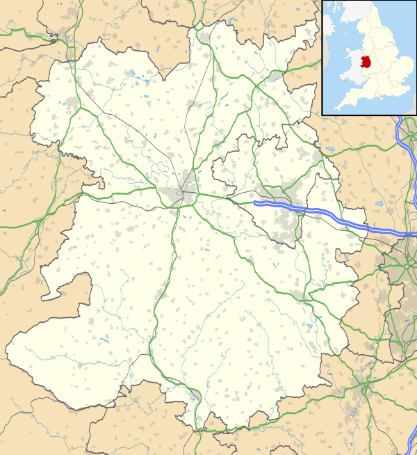
Tugford is a hamlet in Shropshire, England. It lies in the civil parish of Abdon, between Bouldon and Holdgate, on the boundary of the relatively flat Corvedale and the upland Clee Hills.[1]
The church of St Catherine dates from the 12th century and is a Grade II* listed building.[2] It features two sheela na gig statues.[3]
References
- ↑ Ordnance Survey mapping
- ↑ "Church of St. Catherine: List entry Number: 1383393". English Heritage. Retrieved 20 October 2014.
- ↑ Sheela na gig website: Tugford sheelas
This article is issued from Wikipedia - version of the 1/24/2016. The text is available under the Creative Commons Attribution/Share Alike but additional terms may apply for the media files.