Grade I listed buildings in Shropshire

Shropshire shown within England
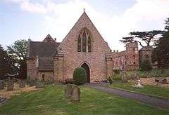
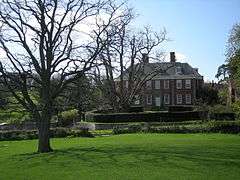
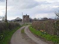
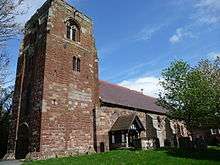
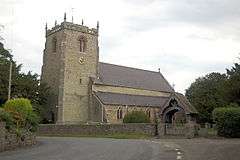
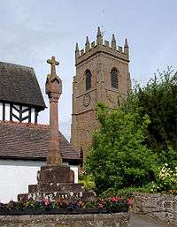
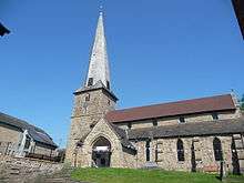
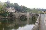
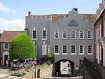
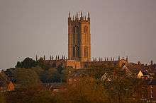
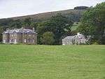
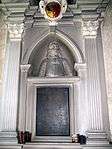
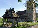
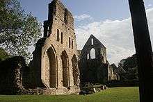
There are over 9000 Grade I listed buildings in England. This page is a list of these buildings in the county of Shropshire, by district.
Shropshire


.jpg)
.jpg)


.jpg)


.jpg)


.jpg)


.jpg)


.jpg)


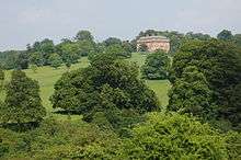
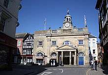
Telford and Wrekin


.jpg)
See also
- Grade I listed churches in Shropshire
- Category:Grade I listed buildings in Shropshire
Notes
- 1 2 The date given is the date used by Historic England as significant for the initial building or that of an important part in the structure's description.
- 1 2 Sometimes known as OSGB36, the grid reference is based on the British national grid reference system used by the Ordnance Survey.
- 1 2 The "List Entry Number" is a unique number assigned to each listed building and scheduled monument by Historic England.
References
English Heritage Images of England
External links
![]() Media related to Grade I listed buildings in Shropshire at Wikimedia Commons
Media related to Grade I listed buildings in Shropshire at Wikimedia Commons
This article is issued from Wikipedia - version of the 10/8/2016. The text is available under the Creative Commons Attribution/Share Alike but additional terms may apply for the media files.