Tybouts Corner, Delaware
| Tybouts Corner, Delaware | |
|---|---|
| Unincorporated community | |
 Tybouts Corner  Tybouts Corner | |
| Coordinates: 39°37′12″N 75°38′32″W / 39.62000°N 75.64222°WCoordinates: 39°37′12″N 75°38′32″W / 39.62000°N 75.64222°W | |
| Country | United States |
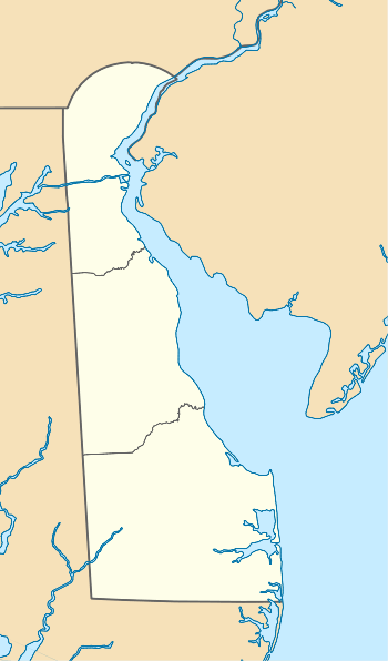
| State | Delaware |
| County | New Castle |
| Elevation | 52 ft (16 m) |
| Time zone | Eastern (EST) (UTC-5) |
| • Summer (DST) | EDT (UTC-4) |
| Area code(s) | 302 |
| GNIS feature ID | 217024[1] |
Tybouts Corner is an unincorporated populated place in New Castle County, Delaware, United States. It is located at the intersection of U.S. Route 13 and Hamburg Road/Bear Tybouts Road just north of an interchange with Delaware Route 1 and an intersection with the northern terminus of Delaware Route 71.[2] Tybouts Corner is located at 39°37′12″N 75°38′32″W / 39.62000°N 75.64222°W (39.62, -75.6421) and has an elevation of 52 feet (16 m).[1]
References
- 1 2 "Tybouts Corner". Geographic Names Information System. United States Geological Survey.
- ↑ Delaware Department of Transportation (2008). Delaware Official Transportation Map (PDF) (Map). Dover: Delaware Department of Transportation. Retrieved July 21, 2016.

This article is issued from Wikipedia - version of the 8/2/2016. The text is available under the Creative Commons Attribution/Share Alike but additional terms may apply for the media files.