Veto, Alabama
| Veto, Alabama | |
|---|---|
| Unincorporated community | |
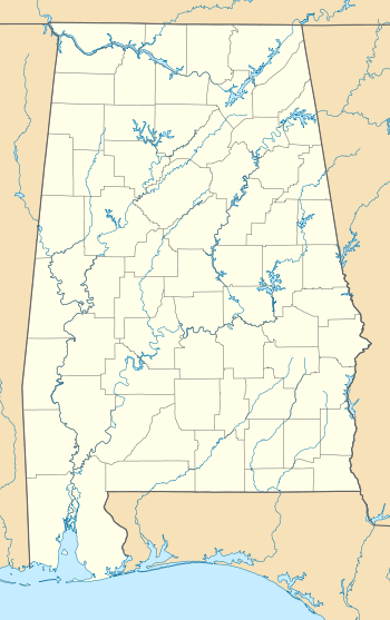 Veto, Alabama Location in Alabama. | |
| Coordinates: 34°59′40″N 86°59′20″W / 34.99444°N 86.98889°W | |
| Country | United States |
| State | Alabama |
| County | Limestone |
| Elevation | 659 ft (201 m) |
| Time zone | Central (CST) (UTC-6) |
| • Summer (DST) | CDT (UTC-5) |
| Area code(s) | 256 |
| GNIS feature ID | 128443[1] |
Veto is an unincorporated community in Limestone County, Alabama, United States.
History
Veto was originally known as State Line. The community was then known as Veto, named after a community of the same name located immediately across the state line in Tennessee.[2] A post office was established under the name State Line from 1875 to 1877. A post office was then operated under the name Veto from 1882 to 1955.[3] Veto is the northern terminus for the Richard Martin Trail.
Demographics
| Historical population | |||
|---|---|---|---|
| Census | Pop. | %± | |
| 1880 | 69 | — | |
| U.S. Decennial Census[4] | |||
Veto was one of four unincorporated communities listed in Limestone County on the 1880 U.S. Census, with a population of 69. The other three communities were Mount Rozell (39), Pettusville (88), and Salem (45). This was the only time these communities were listed on the census rolls.[5]
Notable people
- Dick Coffman, former Major League Baseball middle relief pitcher
- Slick Coffman, younger brother of Dick Coffman and former Major League Baseball pitcher
References
- ↑ "Veto". Geographic Names Information System. United States Geological Survey.
- ↑ "Veto, Alabama" (PDF). United States Geographic Board. Retrieved 7 November 2014.
- ↑ "Limestone County". Jim Forte Postal History. Retrieved 7 November 2014.
- ↑ "U.S. Decennial Census". Census.gov. Archived from the original on May 11, 2015. Retrieved June 6, 2013.
- ↑ 1880-2010 U.S. Censuses research on Limestone County, Alabama communities
Municipalities and communities of Limestone County, Alabama, United States | ||
|---|---|---|
| Cities | 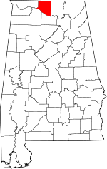 | |
| Towns | ||
| Unincorporated communities | ||
| Footnotes | ‡This populated place also has portions in an adjacent county or counties | |