Tanner, Alabama
| Tanner, Alabama | |
|---|---|
| Unincorporated community | |
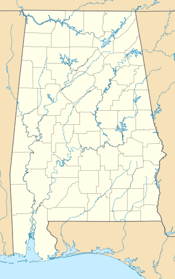 Tanner, Alabama Location in Alabama. | |
| Coordinates: 34°43′53″N 86°58′14″W / 34.73139°N 86.97056°W | |
| Country | United States |
| State | Alabama |
| County | Limestone |
| Elevation | 666 ft (203 m) |
| Time zone | Central (CST) (UTC-6) |
| • Summer (DST) | CDT (UTC-5) |
| ZIP code | 35671 |
| Area code(s) | 256 |
| GNIS feature ID | 153647[1] |
Tanner is an unincorporated community in central southern Limestone County, Alabama, United States, and is included in the Huntsville-Decatur Combined Statistical Area. It lies along the Tennessee River, next to the city of Athens.
Education
Tanner is home to Tanner High School (The Rattlers), a 2A school in the state's classification system. The school's basketball boys and girls teams both won state titles in 1985 and 2011 and are the only school in Alabama to do so.
History
Tanner was settled along the Louisville and Nashville Railroad in the 19th century and was originally named McDonald's Station, then Rowland. A Rowland post office was established in 1878. In 1913, the Tanner post office was established, named after Samuel Tanner who was the first mayor of nearby Athens.[2]
1974 and 2011 Super Outbreaks, and Tornado History
On April 3, 1974, the area was struck by the 1974 Super Outbreak; two violent stovepipe tornadoes that were both one-third of a mile in width hit the community within 30 minutes during the early nighttime hours. Both tornadoes were rated F5 on the Fujita Scale. After the first tornado passed through the area, a second tornado surprised the rescue effort. In total, 50 were killed by those tornadoes.
On April 27, 2011, during what some meteorologists call the 2011 Super Outbreak, Tanner and other surrounding communities were hit by a large violent tornado that was rated EF5.[3] 11 people perished in the county from the wedge tornado which was over 1 mile wide and killed 72 people overall. The tornado marks the third F5 or EF5 to strike Tanner and the surrounding communities in Limestone County.
Climate
The climate in this area is characterized by hot, humid summers and generally mild to cool winters. According to the Köppen Climate Classification system, Tanner has a humid subtropical climate, abbreviated "Cfa" on climate maps.[4]
Notable people
- Reshard Langford, professional football safety
- Gary Redus, Former MLB player (Cincinnati Reds, Philadelphia Phillies, Chicago White Sox, Pittsburgh Pirates, Texas Rangers)
- Rocky Roberts, singer
- Henry A. White, Alabama state representative and educator; graduated from Tanner High School
References
- ↑ "Tanner". Geographic Names Information System. United States Geological Survey.
- ↑ Foscue, Virginia. Place Names in Alabama. University: University of Alabama Press, 1989.
- ↑ "National Weather Service Huntsville Alabama -- Franklin AL, Lawrence AL, Limestone AL, Madison AL, Frankin TN Tornado Survey Information". NOAA's National Weather Service. 2011-05-02. Retrieved 2011-05-02.
- ↑ Climate Summary for Tanner, Alabama
Municipalities and communities of Limestone County, Alabama, United States | ||
|---|---|---|
| Cities | 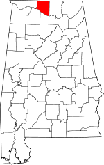 | |
| Towns | ||
| Unincorporated communities | ||
| Footnotes | ‡This populated place also has portions in an adjacent county or counties | |
Coordinates: 34°43′53″N 86°58′14″W / 34.73139°N 86.97056°W