West Stewartstown, New Hampshire
| West Stewartstown, New Hampshire | |
|---|---|
| Census-designated place | |
 | |
 West Stewartstown  West Stewartstown | |
| Coordinates: 44°59′43″N 71°31′52″W / 44.99528°N 71.53111°WCoordinates: 44°59′43″N 71°31′52″W / 44.99528°N 71.53111°W | |
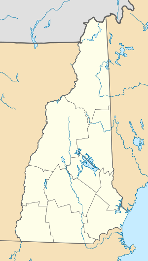
| Country | United States |
| State | New Hampshire |
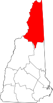
| County | Coos |
| Town | Stewartstown |
| Area | |
| • Total | 0.6 sq mi (1.6 km2) |
| • Land | 0.6 sq mi (1.6 km2) |
| • Water | 0.04 sq mi (0.1 km2) |
| Elevation | 1,050 ft (320 m) |
| Population (2010) | |
| • Total | 386 |
| • Density | 620/sq mi (240/km2) |
| Time zone | Eastern (EST) (UTC-5) |
| • Summer (DST) | EDT (UTC-4) |
| ZIP code | 03597 |
| Area code(s) | 603 |
| FIPS code | 33-83620 |
| GNIS feature ID | 0870796 |
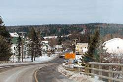
West Stewartstown is a census-designated place in the town of Stewartstown in Coos County, New Hampshire, United States. It had a population of 386 at the 2010 census.[1]
It is located along U.S. Route 3 and the Connecticut River in the northwestern corner of Stewartstown, directly across the river from Canaan, Vermont and one mile south of the Canada–US border.
References
- ↑ United States Census Bureau, American FactFinder, 2010 Census figures. Retrieved March 23, 2011.
This article is issued from Wikipedia - version of the 8/17/2016. The text is available under the Creative Commons Attribution/Share Alike but additional terms may apply for the media files.