Willi Willi National Park
| Willi Willi National Park New South Wales | |
|---|---|
|
IUCN category Ib (wilderness area) | |
 Willi Willi National Park | |
| Nearest town or city | Wauchope |
| Coordinates | 31°10′43″S 152°29′27″E / 31.17861°S 152.49083°ECoordinates: 31°10′43″S 152°29′27″E / 31.17861°S 152.49083°E |
| Established | 4 April 1996[1] |
| Area | 298.7 km2 (115.3 sq mi)[1] |
| Managing authorities | NSW National Parks & Wildlife Service |
| Website | Willi Willi National Park |
| See also |
Protected areas of New South Wales |
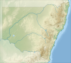
The Willi Willi National Park is a protected national park located on the North Coast region of New South Wales, Australia. Gazetted in 1996, the 29,870-hectare (73,800-acre) park is situated 325 kilometres (202 mi) northeast of Sydney and 60 kilometres (37 mi) west of Wauchope.
The park is part of the Hastings-Macleay group World Heritage Site Gondwana Rainforests of Australia inscribed in 1986[2] and added to the Australian National Heritage List in 2007.[3]
The park is quite noticeable from nearby Port Macquarie as a tall escarpment to the north west. The park is between the Macleay River and Hastings River valleys and includes Kemps Pinnacle and Mount Banda Banda, both over 1,100 metres (3,600 ft) above sea level.
See also
References
- 1 2 "Willi Willi National Park". Office of Environment and Heritage. Government of New South Wales. Retrieved 10 September 2014.
- ↑ "Gondwana Rainforests of Australia". Department of the Environment. Australian Government. Retrieved 10 September 2014.
- ↑ "Gondwana Rainforests of Australia, Lismore, NSW, Australia". Australian Heritage Database: Department of the Environment. Australian Government. 2014. Retrieved 10 September 2014.
External links
This article is issued from Wikipedia - version of the 5/8/2016. The text is available under the Creative Commons Attribution/Share Alike but additional terms may apply for the media files.