Middle Brother National Park
| Middle Brother National Park New South Wales | |
|---|---|
|
IUCN category II (national park) | |
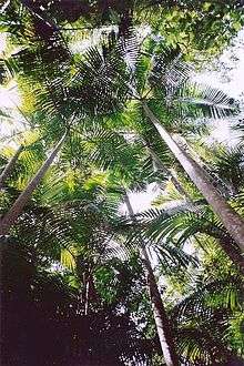
 Bangalow Palm forest at Middle Brother National Park | |
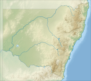
 Middle Brother National Park | |
| Nearest town or city | Laurieton |
| Coordinates | 31°41′39″S 152°40′15″E / 31.69417°S 152.67083°ECoordinates: 31°41′39″S 152°40′15″E / 31.69417°S 152.67083°E |
| Established | January 1, 1999 |
| Area | 18.3 km2 (7.1 sq mi) |
| Managing authorities | NSW National Parks and Wildlife Service |
| Website | Middle Brother National Park |
| See also |
Protected areas of New South Wales |
Middle Brother National Park is a protected area of 1830 hectares, situated in the Mid North Coast region of New South Wales. The nearest large town is Laurieton. The high rainfall and volcanic soils produce outstanding eucalyptus forest and rainforest. Large Flooded Gum and Blackbutt grow in sheltered areas.
See also
References
This article is issued from Wikipedia - version of the 4/4/2016. The text is available under the Creative Commons Attribution/Share Alike but additional terms may apply for the media files.