Willow Creek (Snake River)
| Willow Creek | |
| Country | United States |
|---|---|
| State | Idaho |
| Counties | Bonneville County, Idaho, Bingham County, Idaho |
| Source | |
| - location | east of the Blackfoot Mountains, Bingham County, Idaho |
| - elevation | 6,568 ft (2,002 m) [1] |
| - coordinates | 43°05′40″N 111°42′52″W / 43.09444°N 111.71444°W [2] |
| Mouth | Snake River |
| - location | north of Idaho Falls, Bonneville County, Idaho |
| - elevation | 4,777 ft (1,456 m) [2] |
| - coordinates | 43°33′10″N 111°59′17″W / 43.55278°N 111.98806°WCoordinates: 43°33′10″N 111°59′17″W / 43.55278°N 111.98806°W [2] |
| Length | 84 mi (135 km) [3] |
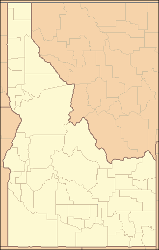 Location of the mouth of Willow Creek in Idaho | |
Willow Creek is a 84-mile (135 km) long[3] tributary of the Snake River in the U.S. state of Idaho. Beginning at an elevation of 6,568 feet (2,002 m)[1] east of the Blackfoot Mountains in southeastern Bingham County, it flows generally north into Bonneville County and past Bone. South of the town of Ririe, the creek is impounded by Ririe Dam, forming Ririe Reservoir. It then turns southwest, passing between Iona and Ucon, before bifurcating into two distributaries, North Fork Willow Creek and South Fork Willow Creek,[4] at an elevation of 4,777 feet (1,456 m).[2] Both forks reach the Snake River north of Idaho Falls.[4]
Willow Creek has significant populations of brown trout.[5]
See also
References
- 1 2 Source elevation derived from Google Earth search using GNIS source coordinates.
- 1 2 3 4 "Willow Creek". Geographic Names Information System. United States Geological Survey. June 21, 1979. Retrieved July 23, 2013.
- 1 2 "National Hydrography Dataset". United States Geological Survey. Retrieved July 23, 2013. Note: approximation; course is largely obliterated by agriculture past Ririe.
- 1 2 Idaho Road and Recreation Atlas (Map) (2nd ed.). 1:250,000. Benchmark Maps. 2010. pp. 68, 78. ISBN 978-0-929591-06-3. OCLC 567571371.
- ↑ Geological Survey (U.S.) Lead Bureau; United States Bureau of Land Management; United States Forest Service (1975). Development of phosphate resources in southeastern Idaho. U.S. Dept. of the Interior, Geological Survey. p. 1. Retrieved February 7, 2013.
This article is issued from Wikipedia - version of the 10/20/2016. The text is available under the Creative Commons Attribution/Share Alike but additional terms may apply for the media files.