Çan
| Çan | |
|---|---|
| District | |
 Location of Çan within Turkey. | |
 Çan Location of Çan | |
| Coordinates: 40°02′N 27°03′E / 40.033°N 27.050°E | |
| Country |
|
| Region | Marmara |
| Province | Çanakkale |
| Government | |
| • Mayor | Abdurrahman Kuzu (AKP) |
| Area[1] | |
| • District | 906.63 km2 (350.05 sq mi) |
| Elevation | 129 m (423 ft) |
| Population (2012)[2] | |
| • Urban | 29,214 |
| • District | 50,002 |
| • District density | 55/km2 (140/sq mi) |
| Time zone | EET (UTC+2) |
| • Summer (DST) | EEST (UTC+3) |
| Postal code | 17xxx |
| Area code(s) | 286 |
| Licence plate | 17 |
| Website | www.can.bel.tr |
Çan is a town and district of Çanakkale Province in the Marmara region of Turkey. According to the 2010 census, population of the district is 50,669 of which 28,808 live in the town of Çan.[3][4] The district covers an area of 907 km2 (350 sq mi),[5] and the town lies at an elevation of 129 m (423 ft).
Notes
- ↑ "Area of regions (including lakes), km²". Regional Statistics Database. Turkish Statistical Institute. 2002. Retrieved 2013-03-05.
- ↑ "Population of province/district centers and towns/villages by districts - 2012". Address Based Population Registration System (ABPRS) Database. Turkish Statistical Institute. Retrieved 2013-02-27.
- ↑ Statistical Institute
- ↑ GeoHive. "Statistical information on Turkey's administrative units". Retrieved 2009-04-21.
- ↑ Statoids. "Statistical information on districts of Turkey". Retrieved 2009-04-21.
References
- Falling Rain Genomics, Inc. "Geographical information on Çan, Turkey". Retrieved 2009-04-21.
External links
- District governor's official website (Turkish)
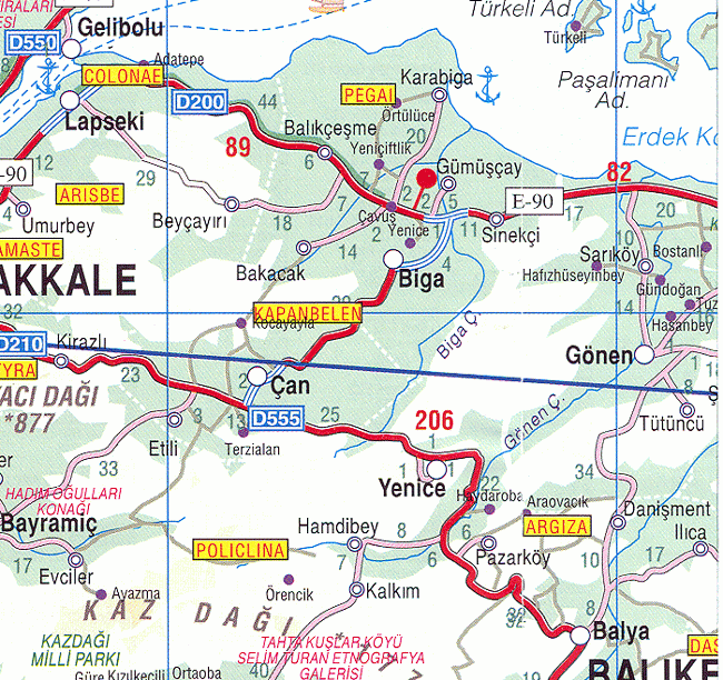
- Road map of Çan and environs
- Various images of Çan, Çanakkale
Coordinates: 40°01′39″N 27°02′51″E / 40.02750°N 27.04750°E
This article is issued from Wikipedia - version of the 4/22/2015. The text is available under the Creative Commons Attribution/Share Alike but additional terms may apply for the media files.