Amber, Iowa
| Amber, Iowa | |
|---|---|
| Unincorporated community | |
 Amber, Iowa | |
| Coordinates: 42°07′41″N 91°10′49″W / 42.12806°N 91.18028°WCoordinates: 42°07′41″N 91°10′49″W / 42.12806°N 91.18028°W | |
| Country | United States |
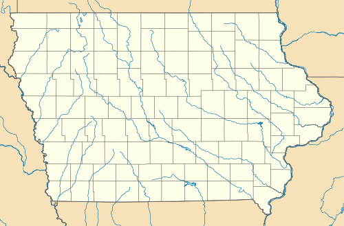
| State | Iowa |
| County | Jones |
| Elevation | 1,027 ft (313 m) |
| Time zone | (CST) (UTC-6) |
| • Summer (DST) | CDT (UTC-5) |
| ZIP code | 52205 |
| Area code(s) | 319 |
| GNIS feature ID | 454164[1] |
Amber is an unincorporated community in Jones County, Iowa, United States. Amber is northeast of Anamosa, northwest of Center Junction, south of Monticello and north of Olin. Amber is located approximately in the center of Jones County.
History
What would become Amber started with the Midland railroad depot of the Chicago & North-Western Railway. The founders of Amber were the Hartmans, the Sanfords and J.C. Ramsey. Mrs. C.E. Sanford & son opened a general store and J.C. Ramsey was the agent for the Midland depot. The post office was established in 1873 with T. Hartman being the first postmaster, he was also a trustee for Wayne Township. Originally called Blue Cut, due to a wide strip of blue clay nearby, the name was changed to Amber on July 1, 1878.[2] Amber was named after a character in a novel that a resident had read.[3]
References
- ↑ "US Board on Geographic Names". United States Geological Survey. 2007-10-25. Retrieved 2008-01-31.
- ↑ Corbit, Robert McClain (1910) [1879]. History of Jones County, Iowa: Past and Present, Volume 1. Chicago: S. J. Clarke Publishing Company. Western Historical Company. pp. 544–546, 633.
- ↑ Chicago and North Western Railway Company (1908). A History of the Origin of the Place Names Connected with the Chicago & North Western and Chicago, St. Paul, Minneapolis & Omaha Railways. p. 37.
Municipalities and communities of Jones County, Iowa, United States | ||
|---|---|---|
| Cities | ||
| Townships | ||
| CDP | ||
| Other unincorporated communities | ||
| Footnotes | ‡This populated place also has portions in an adjacent county or counties | |