Arzana
| Arzana | |
|---|---|
| Comune | |
| Comune di Arzana | |
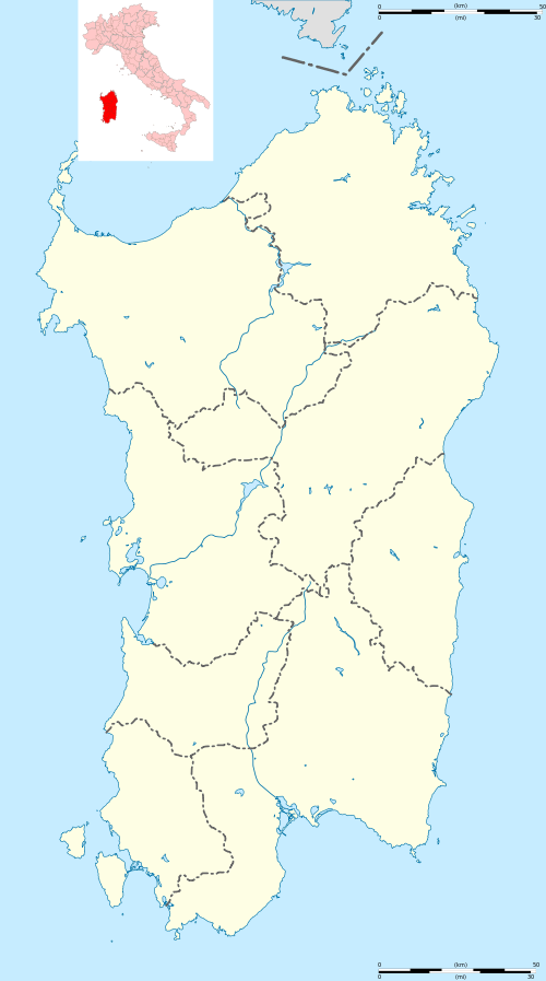 Arzana Location of Arzana in Sardinia | |
| Coordinates: 39°55′N 9°32′E / 39.917°N 9.533°ECoordinates: 39°55′N 9°32′E / 39.917°N 9.533°E | |
| Country | Italy |
| Region | Sardinia |
| Province / Metropolitan city | Nuoro (NU) |
| Area | |
| • Total | 162.5 km2 (62.7 sq mi) |
| Population (Dec. 2004) | |
| • Total | 2,660 |
| • Density | 16/km2 (42/sq mi) |
| Demonym(s) | Arzanesi |
| Time zone | CET (UTC+1) |
| • Summer (DST) | CEST (UTC+2) |
| Postal code | 08040 |
| Dialing code | 0782 |
Arzana, Àrtzana in sardinian language, is a comune (municipality) in the Province of Nuoro in the Italian region Sardinia, located about 90 kilometres (56 mi) northeast of Cagliari and about 10 kilometres (6 mi) west of Tortolì. As of 31 December 2004, it had a population of 2,660 and an area of 162.5 square kilometres (62.7 sq mi).[1]
Arzana borders the following municipalities: Aritzo, Desulo, Elini, Gairo, Ilbono, Jerzu, Lanusei, Seui, Seulo, Tortolì, Villagrande Strisaili, Villaputzu.
Territory
Arzana is located about 670 metres (2,200 ft) above sea level. In the town of Arzana stands Punta la Marmora, the highest peak in Sardinia.
Notable people
- Stanis Dessy, artist
- Anselmo Contu, political
- Attilio Cubeddu, former member of Anonima sarda
- Samuele Stochino bandit
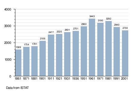
Demographic evolution
References
| Wikimedia Commons has media related to Arzana. |
This article is issued from Wikipedia - version of the 8/12/2016. The text is available under the Creative Commons Attribution/Share Alike but additional terms may apply for the media files.