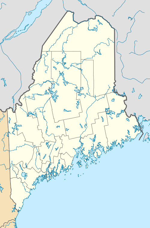
Bigelow Preserve
| Bigelow Preserve | |
|---|---|
|
IUCN category IV (habitat/species management area) | |
|
Avery Peak on Mount Bigelow | |
 | |
| Location | Maine, United States |
| Nearest city | Skowhegan, Maine |
| Coordinates | 45°09′N 70°18′W / 45.150°N 70.300°WCoordinates: 45°09′N 70°18′W / 45.150°N 70.300°W |
| Area | 36,000 acres (15,000 ha) |
| Established | 1976 |
| Governing body | Maine Department of Agriculture, Conservation and Forestry |
| Official website | |
Bigelow Mountain Preserve is a 36,000 acres (15,000 ha) state-owned nature preserve in the western part of the U.S. state of Maine.[1][2] Located in Stratton, Maine, the preserve was created in 1976 in order to stop a proposed development of a ski resort in the area.[3] It is home to Mount Bigelow, one of Maine's highest mountains at an elevation of 4,145 feet (1,263 m), and Flagstaff Lake.[2]
References
- ↑ "Bigelow". Mainely Hiking. Retrieved 24 April 2014.
- 1 2 "Bigelow Preserve Public Reserved Land". Maine Department of Agriculture, Conservation and Forestry. Retrieved May 18, 2014.
- ↑ Condon, Mark (July 2000). "Maine's Bigelow Preserve". Backpacker Magazine. Retrieved 24 April 2014.
This article is issued from Wikipedia - version of the 11/19/2016. The text is available under the Creative Commons Attribution/Share Alike but additional terms may apply for the media files.