Botany, Glasgow
Coordinates: 55°53′27″N 4°17′34″W / 55.8909°N 4.2929°W
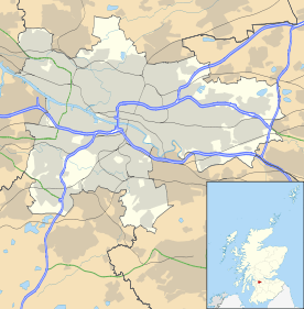
Botany is an area of the Maryhill district in the Northwest of the city of Glasgow, Scotland. One explanation for the name of the area that it was viewed as a rougher part of the then village of Maryhill, with many rough-and-tumble lodging houses and public houses, and many of its residents were expected to be deported to Botany Bay in Australia, then acting as a penal colony. However, a more prosaic explanation is that there was a school in the area known as the Botany School, now long closed, but the name survived.[1]
This reputation for being a rough area did not lessen over the years, with Botany (commonly referred to as 'The Butney' by local people) having many social problems of deprivation, unemployment and drug abuse. The local gang was known as "The Butny".[1]
The area has been completely cleared by the city council and is under construction for new modern apartment flats along with many other areas of Maryhill.
The area's name is preserved by a local hosteliery which has called itself The Botany.
References
- 1 2 James Patrick A Glasgow Gang Observed