Bramford
| Bramford | |
 Bramford |
|
| Population | 2,303 (2011)[1] |
|---|---|
| OS grid reference | TM124463 |
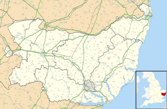
| District | Mid Suffolk |
| Shire county | Suffolk |
| Region | East |
| Country | England |
| Sovereign state | United Kingdom |
| Post town | Ipswich |
| Postcode district | IP8 |
| Dialling code | 01473 |
| EU Parliament | East of England |
Coordinates: 52°04′26″N 1°05′53″E / 52.074°N 1.098°E
Bramford is a medium-sized village, three miles west of Ipswich, Suffolk, in the Mid Suffolk administrative district. Recorded in the Domesday Book as "Brunfort" or "Branfort". The River Gipping (the source of the River Orwell), runs at the bottom of the village and was a busy navigable waterway during the 19th century. A lock is still on the east of side of the village. The village has two churches; (one Anglican, St Mary the Virgin viewable from Bramford Bridge in the southeast of the village and one Methodist) in the north west of the village on the B1067 road. Bramford railway station was originally on the Eastern Union Railway but closed in 1955.
The village is served by a variety of shops and services; a primary school (southwest), a pub (the Cock), a sports ground, a bowls club and other social groups, including a football club which has a first and reserve team. There is a private care village which is called Cherryfields made up of several bungalows and flats situated up Gippingstone Road in the centre of Bramford, opposite the Co-op. Bramford also has its own Royal British Legion club.
The Angel pub is now closed, and not that much information has been given about what to do with it now. it is currently for sale.
Nearby villages include Sproughton, Somersham and Little Blakenham.
External links
| Wikimedia Commons has media related to Bramford. |
- Website about the village
- Bramford Parish Council
- Cock pub
- Bramford Lock Picture
- St Mary's from bridge
- St Mary's Font
- Bramford Methodist Church
- Bramford CofE Primary School
References
- ↑ "Civil Parish population 2011". Neighbourhood Statistics. Office for National Statistics. Retrieved 17 August 2016.
| Boroughs or districts | |
|---|---|
| Major settlements | |
| Topics | |