Buchinaidu Khandriga mandal
| Buchinaidu Khandriga mandal బుచ్చినాయుడు ఖండ్రిగ మండలం | |
|---|---|
| Mandal | |
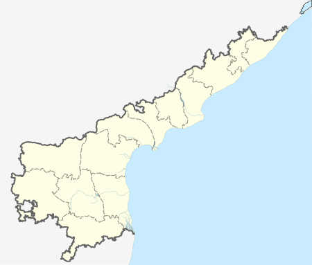
 Buchinaidu Khandriga mandal Location in Andhra Pradesh, India | |
| Coordinates: 13°48′10″N 79°43′57″E / 13.8027°N 79.7326°ECoordinates: 13°48′10″N 79°43′57″E / 13.8027°N 79.7326°E | |
| Country | India |
| State | Andhra Pradesh |
| District | Chittoor district |
| Headquarters | Kanamanambedu |
| Government | |
| • Body | Mandal Parishad |
| Population (2011)[1] | |
| • Total | 34,261 |
| Languages | |
| • Official | Telugu |
| Time zone | IST (UTC+5:30) |
Buchinaidu Khandriga mandal is one of the 66 mandals in Chittoor district of the Indian state of Andhra Pradesh. The mandal headquarters are located at Kanamanambedu.[2] The mandal is bounded by Varadaiahpalem, K.V.B. Puram, Thottambedu mandals and Nellore district.[3]
Demographics
As of 2011 census, the mandal had a population of 34,261. The total population constitute, 17,097 males and 17,164 females —a sex ratio of 1004 females per 1000 males. 4,170 children are in the age group of 0–6 years, of which 2,129 are boys and 2,041 are girls. The average literacy rate stands at 65.39% with 19,677 literates.[1]
Towns and villages
As of 2011 census, the mandal has 24 villages.[2][4]
The settlements in the mandal are listed below:
- Alathur
- Bhavanisankarapuram
- Chellamambapuram
- Chinnayyagunta
- Gajulapellore
- Kallivettu
- Kanamanambedu †
- Kanchanaputtur
- Katur
- Kothapalem
- Kukkambakam
- Kumara Venkatapuram
- Neerpakota
- Nelavoy
- Pallamala
- Parlapalle
- Peddapalavedu
- Putteri
- Talarivettu
- Thangellapuram
- Therripadu
- Thimmabhupalapuram
- Vijayagopalapuram
- West Warathur
- † – Mandal Headquarters
See also
References
- 1 2 "Census 2011". The Registrar General & Census Commissioner, India. Retrieved 26 June 2015.
- 1 2 "Chittoor District Mandals" (PDF). Census of India. pp. 456, 511–12. Retrieved 19 June 2015.
- ↑ "Mandals in Chittoor district". aponline.gov.in. Retrieved 28 July 2014.
- ↑ "Sub-District Details of Chittoor District". The Registrar General & Census Commissioner, India. Retrieved 24 May 2014.
This article is issued from Wikipedia - version of the 7/28/2015. The text is available under the Creative Commons Attribution/Share Alike but additional terms may apply for the media files.