Burham, Ramallah
For the British town, see Burham.
| Burham | |
|---|---|
| Other transcription(s) | |
| • Arabic | بُرهام |
| • Also spelled | Boorhem (official) |
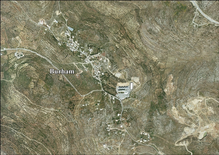
 Burham Location of Burham within the Palestinian territories | |
| Coordinates: 31°59′20.98″N 35°10′28.55″E / 31.9891611°N 35.1745972°ECoordinates: 31°59′20.98″N 35°10′28.55″E / 31.9891611°N 35.1745972°E | |
| Palestine grid | 166/155 |
| Governorate | Ramallah & al-Bireh |
| Government | |
| • Type | Local Development Committee |
| Area | |
| • Jurisdiction | 1,589 dunams (1.6 km2 or 0.6 sq mi) |
| Population (2007) | |
| • Jurisdiction | 616 |
Burham (Arabic: بُرهام) is a Palestinian village in the Ramallah and al-Bireh Governorate located twelve kilometers north of Ramallah. The largest nearby town is Bir Zeit located to the southeast. The average elevation of Burham is 680 meters above sea level.[1] The village was established during the Byzantine Empire rule over Palestine.[2]
In 1922, there were 74 inhabitants in the town, rising to 122 in 1931.[1] According to the Palestinian Central Bureau of Statistics, Burham had a population of 565 in mid-year 2006.[3] In the 2007 census by the PCBS, there were 616 people living in the town.[4]
References
- 1 2 Welcome to Burham
- ↑ Taha, Hamdan. The Sanctuary of Sheikh al-Qatrawani Studium Biblicum Franciscanum - Jerusalem.
- ↑ Projected Mid -Year Population for Ramallah & Al Bireh Governorate by Locality 2004- 2006 Palestinian Central Bureau of Statistics.
- ↑ 2007 PCBS Census Archived December 10, 2010, at the Wayback Machine.. Palestinian Central Bureau of Statistics. p.112.
Bibliography
- Barron, J. B., ed. (1923). Palestine: Report and General Abstracts of the Census of 1922. Government of Palestine.
- Conder, Claude Reignier; Kitchener, H. H. (1882). The Survey of Western Palestine: Memoirs of the Topography, Orography, Hydrography, and Archaeology. 2. London: Committee of the Palestine Exploration Fund. (pp. 290, 330)
- Department of Statistics (1945). Village Statistics, April, 1945. Government of Palestine.
- Finkelstein, Israel; Lederman, Zvi, eds. (1997). Highlands of many cultures. Tel Aviv: Institute of Archaeology of Tel Aviv University Publications Section. ISBN 965-440-007-3. (I p. 408)
- Guérin, Victor (1869). Description Géographique Historique et Archéologique de la Palestine (in French). 1: Judee, pt. 3. Paris: L'Imprimerie Nationale. (p. 39)
- Hadawi, Sami (1970). Village Statistics of 1945: A Classification of Land and Area ownership in Palestine. Palestine Liberation Organization Research Center.
- Mills, E., ed. (1932). Census of Palestine 1931. Population of Villages, Towns and Administrative Areas (PDF). Jerusalem: Government of Palestine.
- Palmer, E. H. (1881). The Survey of Western Palestine: Arabic and English Name Lists Collected During the Survey by Lieutenants Conder and Kitchener, R. E. Transliterated and Explained by E.H. Palmer. Committee of the Palestine Exploration Fund. (p. 233)
- Socin, A. (1879). "Alphabetisches Verzeichniss von Ortschaften des Paschalik Jerusalem". Zeitschrift des Deutschen Palästina-Vereins. 2: 135–163. (p. 145)
External links
- Welcome to Burham
- Survey of Western Palestine, Map 14: IAA, Wikimedia commons
- Burham village (fact sheet), Applied Research Institute - Jerusalem (ARIJ)
- Burham village profile, Applied Research Institute - Jerusalem (ARIJ)
- Burham, aerial photo, Applied Research Institute - Jerusalem (ARIJ)
- Locality Development Priorities and Needs in Burham Village, Applied Research Institute - Jerusalem (ARIJ)
- Untold stories: Said Arouri
| Cities |  | |
|---|---|---|
| Municipalities |
| |
| Village councils |
| |
| Refugee camps | ||
This article is issued from Wikipedia - version of the 11/19/2016. The text is available under the Creative Commons Attribution/Share Alike but additional terms may apply for the media files.