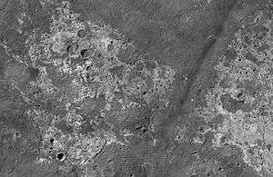
Candor Chasma
|
| |
| Coordinates | 6°36′S 70°54′W / 6.6°S 70.9°WCoordinates: 6°36′S 70°54′W / 6.6°S 70.9°W |
|---|---|
| Length | 773.238 |
Candor Chasma is one of the largest canyons in the Valles Marineris canyon system on Mars. The feature is geographically divided into two halves: East and West Candor Chasmas, respectively. It is unclear how the canyon originally formed; one theory is that it was expanded and deepened by tectonic processes similar to a graben, while another suggests that it was formed by subsurface water erosion similar to a karst.[1] MRO discovered sulfates, hydrated sulfates, and iron oxides in Candor Chasma.[2]
-
Map of Coprates quadrangle showing details of Valles Marineris, the largest canyon system in the solar system. Some of the canyons may have once been filled with water. Candor Chasma is in the middle.
-

Tectonic fractures in Candor Chasma as seen by HiRISE
-

Channels in Candor plateau, as seen by HiRISE. Location is Coprates quadrangle. Click on image to see many small, branched channels which are strong evidence for sustained precipitation.
References
- ↑ ESA - Mars Express - Walls of Candor Chasma
- ↑ Murchie, S. et al. 2009. A synthesis of Martian aqueous mineralogy after 1 Mars year of observations from the Mars Reconnaissance Orbiter. Journal of Geophysical Research: 114.
External links
- Flying around Candor Chasma at an altitude of 100 meters
- HiRISE observation of tectonic fractures
- Virtual flyover of Candor Chasma
