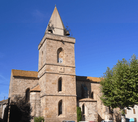
Canet, Aude
| Canet | ||
|---|---|---|
 | ||
| ||
 Canet | ||
|
Location within Occitanie region  Canet | ||
| Coordinates: 43°13′47″N 2°50′52″E / 43.2297°N 2.8478°ECoordinates: 43°13′47″N 2°50′52″E / 43.2297°N 2.8478°E | ||
| Country | France | |
| Region | Occitanie | |
| Department | Aude | |
| Arrondissement | Narbonne | |
| Canton | Narbonne-Ouest | |
| Intercommunality | Région Lézignanaise | |
| Government | ||
| • Mayor (2008–2014) | André Hernandez | |
| Area1 | 14.04 km2 (5.42 sq mi) | |
| Population (2008)2 | 1,244 | |
| • Density | 89/km2 (230/sq mi) | |
| Time zone | CET (UTC+1) | |
| • Summer (DST) | CEST (UTC+2) | |
| INSEE/Postal code | 11067 / 11200 | |
| Elevation |
18–37 m (59–121 ft) (avg. 30 m or 98 ft) | |
|
1 French Land Register data, which excludes lakes, ponds, glaciers > 1 km² (0.386 sq mi or 247 acres) and river estuaries. 2 Population without double counting: residents of multiple communes (e.g., students and military personnel) only counted once. | ||
.svg.png)
Canet is a commune in the Aude department in southern France.
Population
| Historical population | ||
|---|---|---|
| Year | Pop. | ±% |
| 1962 | 1,029 | — |
| 1968 | 1,030 | +0.1% |
| 1975 | 910 | −11.7% |
| 1982 | 837 | −8.0% |
| 1990 | 939 | +12.2% |
| 1999 | 1,072 | +14.2% |
| 2008 | 1,244 | +16.0% |
See also
References
| Wikimedia Commons has media related to Canet, Aude. |
This article is issued from Wikipedia - version of the 3/18/2013. The text is available under the Creative Commons Attribution/Share Alike but additional terms may apply for the media files.