Coti-Chiavari
| Coti-Chiavari | |
|---|---|
|
The shore at Coti-Chiavari between Castagna cape and Portiglio cove | |
 Coti-Chiavari | |
|
Location within Corsica region 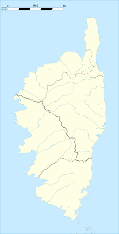 Coti-Chiavari | |
| Coordinates: 41°46′24″N 8°46′19″E / 41.7733°N 8.7719°ECoordinates: 41°46′24″N 8°46′19″E / 41.7733°N 8.7719°E | |
| Country | France |
| Region | Corsica |
| Department | Corse-du-Sud |
| Arrondissement | Ajaccio |
| Canton | Santa-Maria-Siché |
| Government | |
| • Mayor (2008–2014) | Heni Jules Antona |
| Area1 | 63.33 km2 (24.45 sq mi) |
| Population (2008)2 | 733 |
| • Density | 12/km2 (30/sq mi) |
| Time zone | CET (UTC+1) |
| • Summer (DST) | CEST (UTC+2) |
| INSEE/Postal code | 2A098 / 20138 |
| Elevation |
0–648 m (0–2,126 ft) (avg. 614 m or 2,014 ft) |
|
1 French Land Register data, which excludes lakes, ponds, glaciers > 1 km² (0.386 sq mi or 247 acres) and river estuaries. 2 Population without double counting: residents of multiple communes (e.g., students and military personnel) only counted once. | |

Coti-Chiavari is a commune of the Corse-du-Sud department of France on the island of Corsica.
Population
| Historical population | ||
|---|---|---|
| Year | Pop. | ±% |
| 1962 | 259 | — |
| 1968 | 270 | +4.2% |
| 1975 | 285 | +5.6% |
| 1982 | 340 | +19.3% |
| 1990 | 399 | +17.4% |
| 1999 | 490 | +22.8% |
| 2008 | 733 | +49.6% |
Sights
See also
References
| Wikimedia Commons has media related to Coti-Chiavari. |
This article is issued from Wikipedia - version of the 3/15/2016. The text is available under the Creative Commons Attribution/Share Alike but additional terms may apply for the media files.